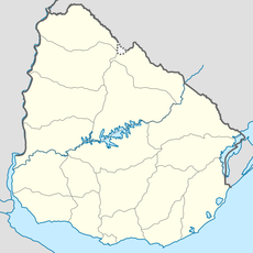
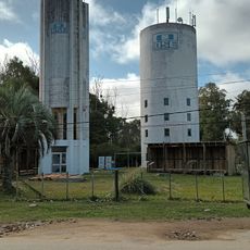
Parque nacional Cabo Polonio, National park in Rocha Department, Uruguay.
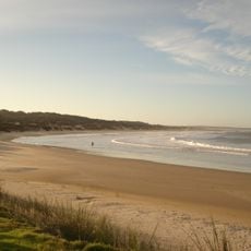
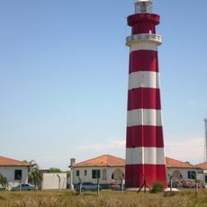
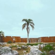
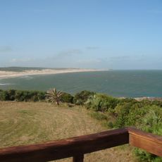
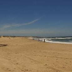
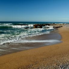
Parque nacional Cabo Polonio is a protected area along the Atlantic coast with ocean sections, islands, and large sand dunes next to a fishing village. The site covers about 25,820 hectares and combines coastal landscapes with diverse wildlife.
Protection began with Decree 266 of 2 June 1966, which declared the Cabo Polonio region of national interest and made the dune system between Cabo Polonio and Punta del Diablo a Natural Monument. In 1996 the offshore islands were included in the Parque Nacional de Islas Costeras. After public hearings in 2007, Decree 337/009 of 20 July 2009 created the national park and entered it into the SNAP.
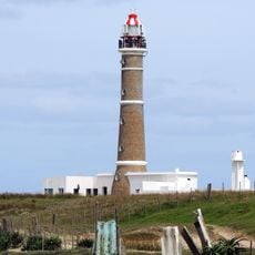
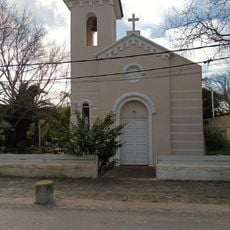
The park's name comes from the Cabo Polonio headland, and the village inside it keeps a small-scale fishing and beach tradition. The ocean islands Rasa, Encantada, Islote, del Marco and Seca lie within the marine strip of five nautical miles. The area also belongs to the Bañados del Este Biosphere Reserve, added to UNESCO's Man and the Biosphere network in 1976.
Visitors must park their vehicles at the entrance and travel through the dunes via authorized 4x4 vehicles to reach the settlement. This access method protects the surroundings and is necessary for exploration.
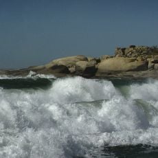
The park's marine section extends five nautical miles from the shoreline and takes in five islands: Rasa, Encantada, Islote, del Marco and Seca. These 16 hectares of insular land lie within the 21,151 hectares of Atlantic water, while the land portion covers 4,653 hectares.
The community of curious travelers
AroundUs brings together thousands of curated places, local tips, and hidden gems, enriched daily by 92,914 contributors worldwide.