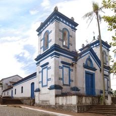
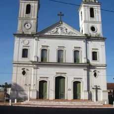
São Jerônimo, Administrative division in Rio Grande do Sul, Brazil
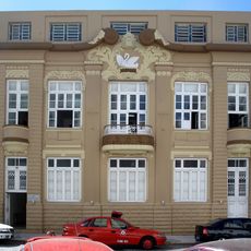
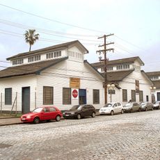
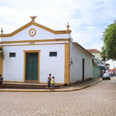
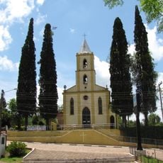
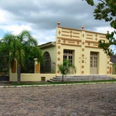
São Jerônimo is a municipality in Rio Grande do Sul organized around a central administrative hub and public spaces situated along the Jacuí River. The town encompasses both urban and rural areas with municipal buildings and service facilities distributed throughout.
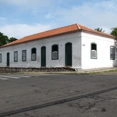
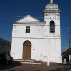
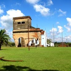
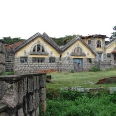
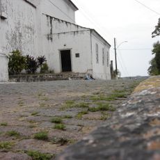
The region originated from Portuguese colonial territories in the 16th century and later developed into a formally established municipality with its own administrative framework. This evolution links colonial roots to contemporary local institutions.
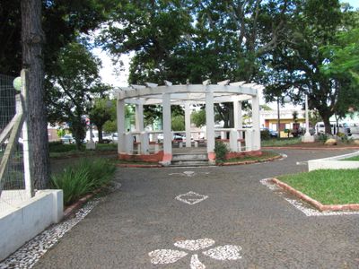
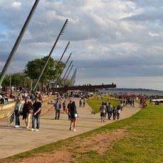
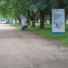
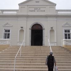
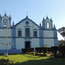
The town center and municipal spaces serve as gathering points where residents celebrate local traditions and community life. Daily rhythms of the town unfold through public events and collective activities that shape local identity.
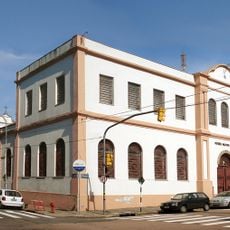
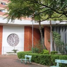
The administrative center houses key municipal services that are accessible to visitors interested in local operations. Public squares and facilities are walkable, making it straightforward to explore the town's essential areas.
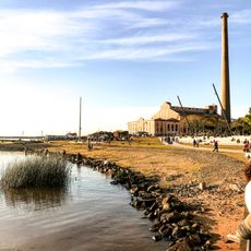
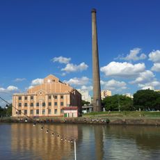
The municipality sits at a strategic point along the Jacuí River, which has served as a vital transportation route through the region for centuries. This riverside location has shaped settlement patterns and economic life across generations.
GPS coordinates: -29.95964,-51.72382
Latest update: December 7, 2025 20:23
Estádio Beira-Rio
48.5 km
Usina do Gasômetro
47.3 km
Parque da Orla do Guaíba
48.4 km
Casa da Cultura Mario Quintana
47.9 km
Iberê Camargo Foundation
47.9 km
Ilha do Presídio
45.7 km
Memorial Luiz Carlos Prestes
48.4 km
Parque Marinha do Brasil
48.6 km
Museu do Comando Militar do Sul
47.7 km
Bom Jesus Church
1.7 km
Igreja Matriz Nossa Senhora do Rosário
63.3 km
Casa da Pólvora
45.5 km
Igreja Menino Deus
49.6 km
Casa de Gomes Jardim
42.6 km
Museu da Brigada Militar
47.7 km
Museu do Trabalho
47.5 km
Museu de Arte Sacra de Rio Pardo
63.1 km
Usina Termoelétrica (Museu Carvão 01)
14.6 km
Teatro União
1.7 km
Igreja Nossa Senhora do Rosário
48 km
Antiga Usina de Gás
47.5 km
Matadouro São Geraldo
43.3 km
Forte Zeca Netto
99.7 km
Conjunto Arquitetônico da Fase
48.4 km
Antiga Escola Militar
62.9 km
Igreja Matriz de Santo Amaro
17.1 km
Cine Show Teresópolis
48.7 km
Calçamento de Pedra, antigo, da rua da Ladeira, abrangendo o trecho situado entre a esquina da rua Andrade Neves e a praça da Matriz
63.4 kmVisited this place? Tap the stars to rate it and share your experience / photos with the community! Try now! You can cancel it anytime.
Discover hidden gems everywhere you go!
From secret cafés to breathtaking viewpoints, skip the crowded tourist spots and find places that match your style. Our app makes it easy with voice search, smart filtering, route optimization, and insider tips from travelers worldwide. Download now for the complete mobile experience.
A unique approach to discovering new places❞
— Le Figaro
All the places worth exploring❞
— France Info
A tailor-made excursion in just a few clicks❞
— 20 Minutes