Ibirubá, Agricultural municipality in Rio Grande do Sul, Brazil
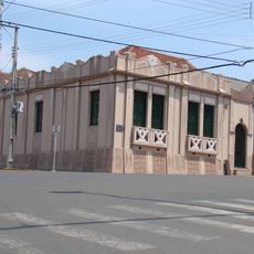
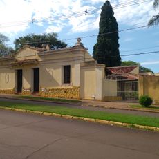
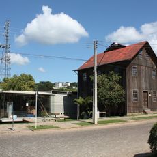
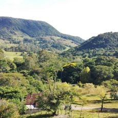
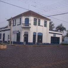
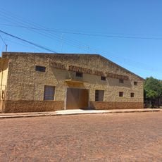
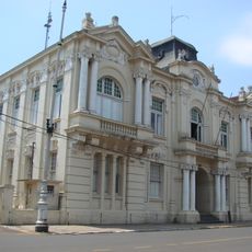
Ibirubá is an agricultural municipality in Rio Grande do Sul that spreads across rolling countryside. The town centers around its administrative area while farming fields and operations shape the broader landscape.
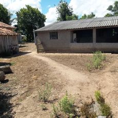
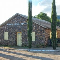
Founded in 1947, this municipality grew from settlements of European immigrants who cultivated the fertile southern lands. The settlers transformed the region into a productive farming center over the following decades.
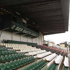
Agricultural exhibitions bring farmers and companies together throughout the year, shaping how people connect over their shared work with the land. These gatherings reflect the strong bond between the community and farming traditions.
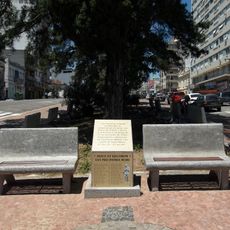
The town has a clear center around its administrative streets, making it easy to navigate. Visiting during agricultural events offers the most interesting experience, as regular activity tends to be tied to the farming calendar.
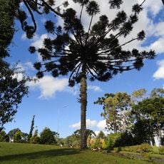
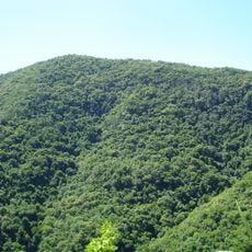
The location sits at an elevation that gives the region distinct seasonal patterns throughout the year. This higher position influences local farming practices and how weather changes between seasons.
The community of curious travelers
AroundUs brings together thousands of curated places, local tips, and hidden gems, enriched daily by 60,000 contributors worldwide.