Anta Gorda, Municipality in Rio Grande do Sul, Brazil.
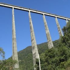
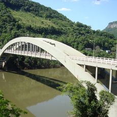
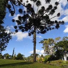
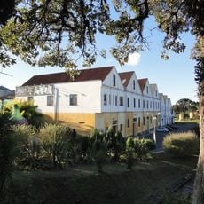
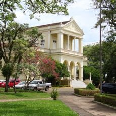
Anta Gorda is a municipality located in Rio Grande do Sul in southern Brazil. The town sits in a rolling landscape marked by farms, small neighborhoods, and buildings that reflect its immigrant heritage.
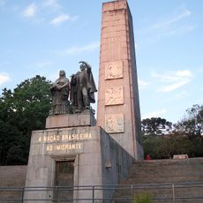
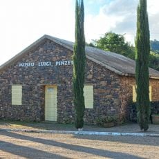
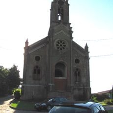
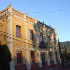
The area began to be settled around 1900 by German and Polish pioneers, followed shortly after by Italian immigrants. These groups shaped the region's development and left their mark on its character.
The municipal name, which translates to 'fat tapir' in Portuguese, reflects a local hunting incident from the early settlement period.
The best time to visit is during warmer months when the countryside is green and roads are easiest to navigate. Most services and points of interest are centered near town and reachable on foot or with brief drives.
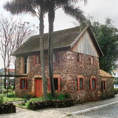
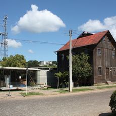
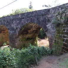
Old mills from the 1920s and 1930s form a heritage walking trail called Caminho dos Moinhos, which includes the Moinho Dall and Vicenzi structures. These buildings still display the construction methods and design of their era.
Location: Rio Grande do Sul
Elevation above the sea: 411 m
Shares border with: Arvorezinha, Doutor Ricardo, Dois Lajeados, Guaporé, Rio Grande do Sul, Ilópolis, Putinga, Vespasiano Correa
Website: http://antagorda.rs.gov.br
GPS coordinates: -28.97000,-52.00500
Latest update: December 7, 2025 20:25
Christ the Protector
30.9 km
Viaduto do Exército
12.4 km
São Pelegrino's church
82.4 km
St. John the Baptist Cathedral
92.9 km
Ponte Ernesto Dornelles
43.2 km
Monumento Nacional ao Imigrante
85.3 km
Museu Ambiência Casa de Pedra
80.9 km
Estádio Parque Esportivo Montanha dos Vinhedos
50 km
Ponte do Império
101.5 km
Palacete Eberle
83.5 km
Museum of Caxias do Sul City
83.1 km
Museu do Automobilismo Brasileiro
88.7 km
Passo Fundo National Forest
75.1 km
Hospital Carbone
84.7 km
Private Reserve of Natural Heritage of University of Santa Cruz do Sul
68.9 km
Museu do Pão
12.7 km
Capela do Santo Sepulcro
84.3 km
Museu da Uva e do Vinho Primo Slomp
75.4 km
Luigi Pinzetta Museum
40.3 km
Museu dos Capuchinhos
81.9 km
Igreja Luterana Tio Hugo
72.7 km
Santo Antônio do Trinta Chapel
40.3 km
Igreja São Pedro - Antiga Matriz
107.2 km
Casa de Artes Regina Simonis
92.7 km
Casa de Dona Neni
71.4 km
Prefeitura Municipal
92.4 km
Núcleo urbano de Santa Tereza
34.4 km
Ponte do Imperador
106.9 kmVisited this place? Tap the stars to rate it and share your experience / photos with the community! Try now! You can cancel it anytime.
Discover hidden gems everywhere you go!
From secret cafés to breathtaking viewpoints, skip the crowded tourist spots and find places that match your style. Our app makes it easy with voice search, smart filtering, route optimization, and insider tips from travelers worldwide. Download now for the complete mobile experience.
A unique approach to discovering new places❞
— Le Figaro
All the places worth exploring❞
— France Info
A tailor-made excursion in just a few clicks❞
— 20 Minutes