
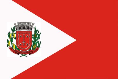
Mangueirinha, human settlement in Brazil
Location: Paraná
Elevation above the sea: 921 m
Shares border with: Chopinzinho, Clevelândia, Coronel Domingos Soares, Coronel Vivida, Foz do Jordão, Honório Serpa, Reserva do Iguaçu
GPS coordinates: -25.94083,-52.17583
Latest update: March 4, 2025 02:00

Iguaçu National Park
228 km
Estádio Olímpico Colosso da Lagoa
190.6 km
Estádio Olímpico Regional Arnaldo Busatto
171.3 km
Reserva natural estricta San Antonio
161.8 km
Metropolitan Cathedral of Our Lady of Apparition, Cascavel
169 km
Araucárias National Park
94 km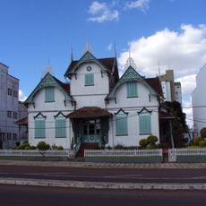
Castelinho
188.8 km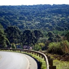
Caçador National Forest
133 km
Sierra de la Victoria
173.8 km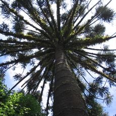
Parque provincial Cruce Caballero
188.3 km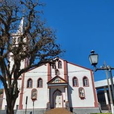
Our Lady of Bethlehem Cathedral, Guarapuava
93.8 km
Geoparque Horacio Foerster
173.2 km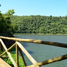
Fritz Plaumann State Park
151 km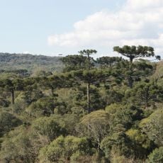
Mata Preta Ecological Station
60.5 km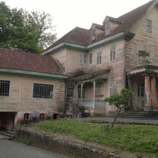
Casa-Sede da Fazenda Florestal
168.5 km
Museu Municipal Visconde de Guarapuava
93.8 km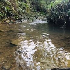
Floresta Nacional de Irati
171.6 km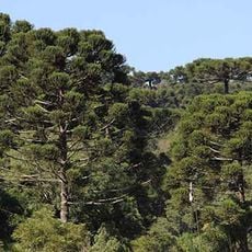
Parque Estadual Bosque das Araucárias
114.8 km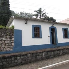
Casa do Visconde de Guarapuava
93.8 km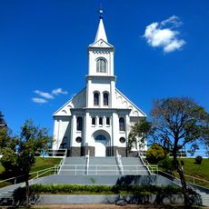
Saint Francis of Assisi Cathedral, Caçador
148.5 km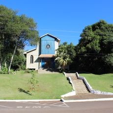
Igreja Nossa Senhora de Fátima
167 km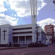
Cathedral of Erechim
188.8 km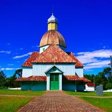
Igreja do Arcanjo Miguel
137 km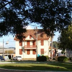
Casa Canônica
156.6 km
Cine Gracher Havan Porto União
113.8 km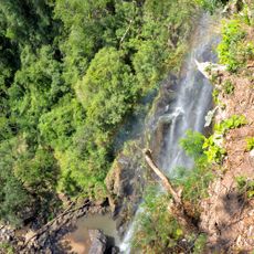
Salto Sete
151.6 km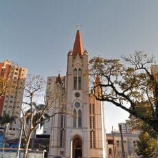
Cathedral of the Sacred Heart of Jesus, União da Vitória
113.5 km
Casa da Cultura Rogério Sganzerla
152.5 kmReviews
Visited this place? Tap the stars to rate it and share your experience / photos with the community! Try now! You can cancel it anytime.
Discover hidden gems everywhere you go!
From secret cafés to breathtaking viewpoints, skip the crowded tourist spots and find places that match your style. Our app makes it easy with voice search, smart filtering, route optimization, and insider tips from travelers worldwide. Download now for the complete mobile experience.

A unique approach to discovering new places❞
— Le Figaro
All the places worth exploring❞
— France Info
A tailor-made excursion in just a few clicks❞
— 20 Minutes