Sierra de la Victoria, Mountain summit in Misiones Province, Argentina
Sierra de la Victoria is a range of rounded, plateau-topped hills in the Misiones system, running 70 km northwest to southeast through General Manuel Belgrano and Iguazú departments. Its highest points, Cerro Melena (518 m) and Cerro Bella Vista (510 m), lie near the Brazilian border, where it meets the Sierra de Misiones and Sierra da Fartura.
The mountain has served as a natural boundary marker since early colonial times, defining territorial limits within Misiones Province. This role established it as a key geographic reference in the region.
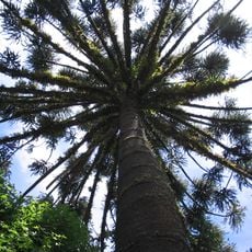
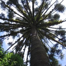
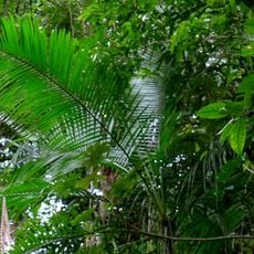
The name Victoria is not tied to any documented local tradition; the sierra is known instead for its vegetation. On its slopes grow the palo rosa (Aspidosperma polyneuron), a giant timber tree, and the palmito (Euterpe edulis), a slender palm whose edible heart is harvested by cutting the trunk, which kills the plant. Above 650 m, almost all Paraná pines were felled.
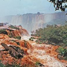
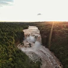
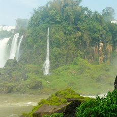
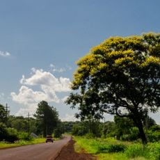
The sierra is crossed by Ruta Nacional 101, mostly paved, which runs along the local watershed and gives access to much of the range. The highest elevations lie near the Argentine-Brazilian border north of Bernardo de Irigoyen, where the sierra meets the Sierra de Misiones and the Sierra da Fartura. Streams descend both flanks through falls and narrow gorges.
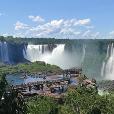
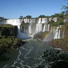
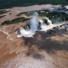
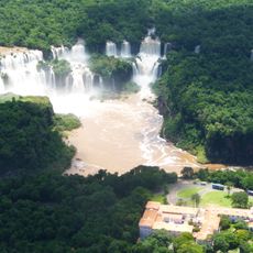
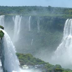
The range's highest points, cerro Melena at 518 m and cerro Bella Vista at 510 m, lie near the Brazilian border, where the sierra meets the Sierra de Misiones and Brazil's sierra da Fartura. It is often wrongly credited with creating Iguazú Falls, which formed on the Paraná and retreat upstream 1 to 2 cm a year.
The community of curious travelers
AroundUs brings together thousands of curated places, local tips, and hidden gems, enriched daily by 92,772 contributors worldwide.