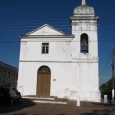
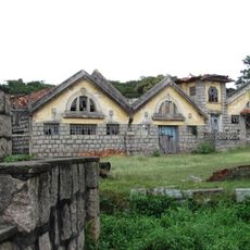
Taquari, Municipality in Rio Grande do Sul, Brazil.
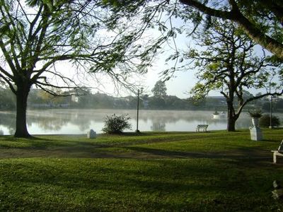
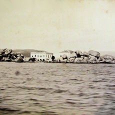
Taquari is a municipality in Rio Grande do Sul situated near river systems and agricultural lands. The area features several water bodies that shape the landscape and support farming activities throughout the region.
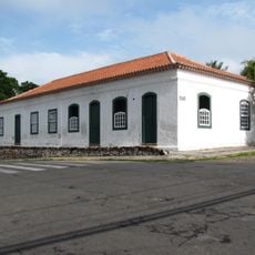
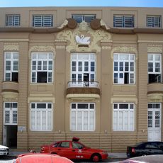
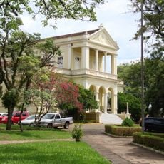
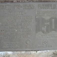
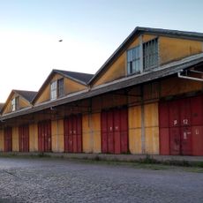
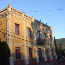
The municipality was founded in 1849 as a settlement point in the development of Rio Grande do Sul. Its establishment marked a key moment in the region's growth during that period.
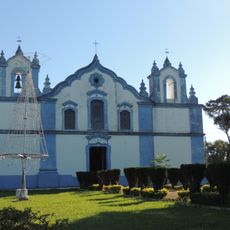
The town celebrates regional customs through local festivals and community gatherings that bring residents together throughout the year. These events show how traditions shape daily life and create a sense of belonging among the people.
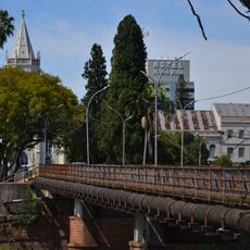
Bus services from the central terminal connect this place to larger cities in Rio Grande do Sul. Regular routes make it straightforward to arrive and explore the surrounding area.
The area includes several lagoons, with Lagoa da Armênia being a notable water feature that serves the local community. This natural setting gives the territory its distinctive character.
The community of curious travelers
AroundUs brings together thousands of curated places, local tips, and hidden gems, enriched daily by 60,000 contributors worldwide.