
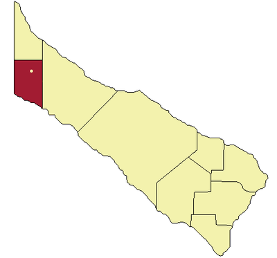
Departamento Matacos, department of Argentina
Location: Formosa Province
Elevation above the sea: 193 m
GPS coordinates: -23.89889,-61.85556
Latest update: March 6, 2025 09:22
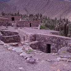
Pucará de Tilcara
363.1 km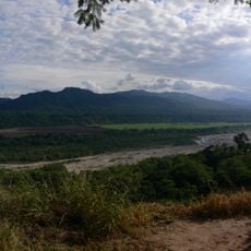
Calilegua National Park
305.2 km
El Rey National Park
295.6 km
Baritú National Park
318.1 km
Tariquía Flora and Fauna National Reserve
332 km
Copo National Park
230.2 km
Reserva de biosfera de Yungas
336.3 km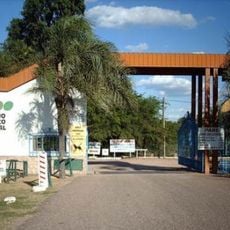
Zoológico de Sáenz Peña
355.5 km
Aguaragüe Integrated Management Natural Area
321.6 km
Palacio de Gobierno de Jujuy
351.6 km
Catedral Basílica de San Salvador de Jujuy (Cathedral Basilica of the Holy Saviour)
351.7 km
Parque provincial Pampa del Indio
326 km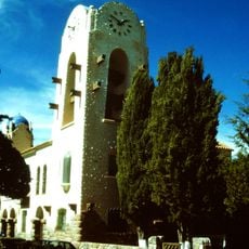
Cabildo de Humahuaca
364.7 km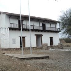
Fuerte de Cobos
341.5 km
Parque Nacional Teniente Enciso
322.1 km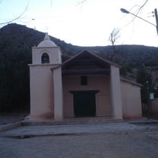
Capilla de la Inmaculada Concepción
360.4 km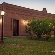
Museo de la Fundación
352.5 km
Casa Cruz
348.7 km
Colección de fotografías de Esteban Zugasti
335 km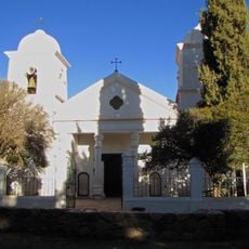
Humahuaca Cathedral
364.8 km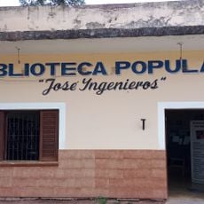
Biblioteca Popular José Ingenieros
279.3 km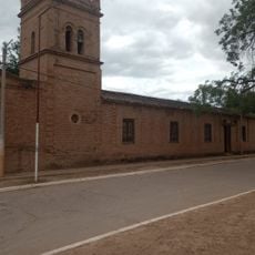
Edificio Principal Casa Misional
121.2 km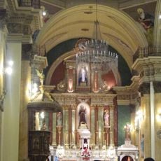
Iglesia y Convento San Francisco
351.9 km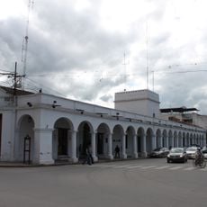
Cabildo de la ciudad de San Salvador de Jujuy
351.6 km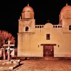
Capilla de Tilcara
362.1 km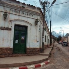
Museo De Bellas Artesfundación Hugo Irureta
362.4 km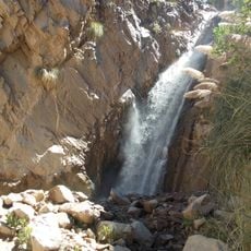
Garganta Del Diablo
360.1 km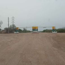
Portal de entrada de El Sauzalito
62.7 kmReviews
Visited this place? Tap the stars to rate it and share your experience / photos with the community! Try now! You can cancel it anytime.
Discover hidden gems everywhere you go!
From secret cafés to breathtaking viewpoints, skip the crowded tourist spots and find places that match your style. Our app makes it easy with voice search, smart filtering, route optimization, and insider tips from travelers worldwide. Download now for the complete mobile experience.

A unique approach to discovering new places❞
— Le Figaro
All the places worth exploring❞
— France Info
A tailor-made excursion in just a few clicks❞
— 20 Minutes