
San Alfredo, district in Concepción, Paraguay
Location: Concepción Department
GPS coordinates: -22.88594,-57.40053
Latest update: April 8, 2025 13:56
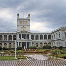
Palacio de López
267.3 km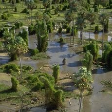
Río Pilcomayo National Park
253.8 km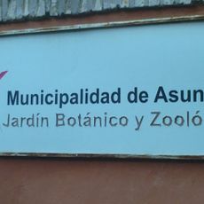
Botanical Garden and Zoo of Asunción
263.6 km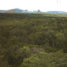
Cerro Cora National Park
127.7 km
Ñu Guasú
264.8 km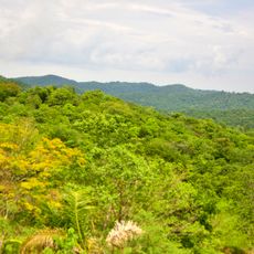
Serra da Bodoquena National Park
216.1 km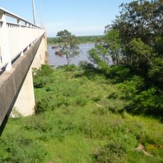
Puente Remanso
256.3 km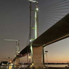
Héroes del Chaco Bridge
263.1 km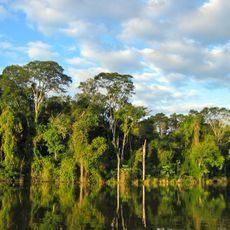
The Bosque Mbaracayú Biosphere Reserve
253.5 km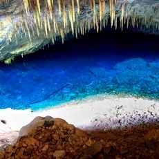
Blue Lake Cave
211 km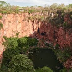
Buraco das Araras
186.1 km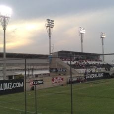
Estadio General Adrián Jara
264.9 km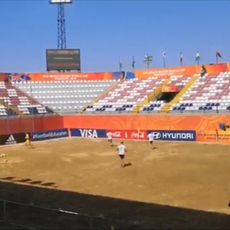
Los Pynandi World Cup Stadium
264.2 km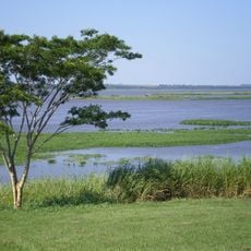
Mbaracayú Forest Nature Reserve
242.3 km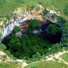
Buraco das Araras
186.1 km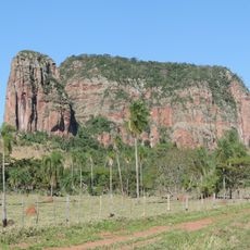
Cerro Memby
97.1 km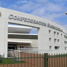
Museum of the Conmebol
264.7 km
Estadio José Tomás Silva
267.2 km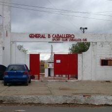
Estadio Hugo Bogado Vaceque
262.1 km
National Library of Paraguay
267.5 km
Loma san jeronimo
267.4 km
Museo del Barro
267.2 km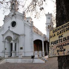
Mary Help of Christians Cathedral, Fuerte Olimpo
211.2 km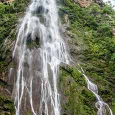
Cachoeira Boca da Onça
249.4 km
Motocross Repuestos Luque
265.9 km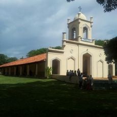
Church of San Lorenzo
264.9 km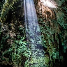
Abismo Anhumas
209.9 km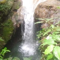
Buraco do Macaco
249.4 kmReviews
Visited this place? Tap the stars to rate it and share your experience / photos with the community! Try now! You can cancel it anytime.
Discover hidden gems everywhere you go!
From secret cafés to breathtaking viewpoints, skip the crowded tourist spots and find places that match your style. Our app makes it easy with voice search, smart filtering, route optimization, and insider tips from travelers worldwide. Download now for the complete mobile experience.

A unique approach to discovering new places❞
— Le Figaro
All the places worth exploring❞
— France Info
A tailor-made excursion in just a few clicks❞
— 20 Minutes