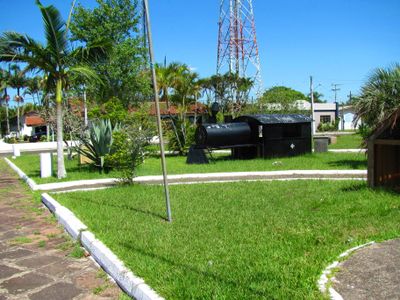
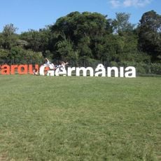
Palmares do Sul, Municipality in Rio Grande do Sul, Brazil
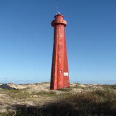
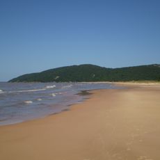
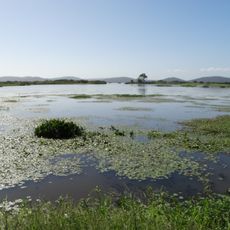
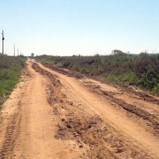
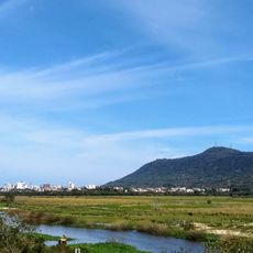
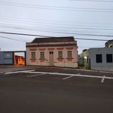
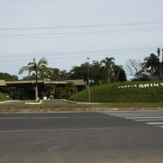
Palmares do Sul is a municipality in southern Rio Grande do Sul that stretches between agricultural land and the Atlantic coast. The terrain features gentle slopes toward the shoreline, with farming areas and residential zones woven throughout the landscape.
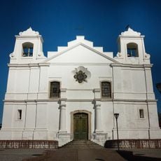
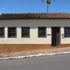
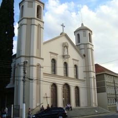
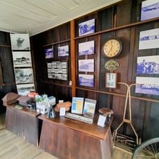
The area was first inhabited by Guarani and Kaingang peoples before Portuguese and Azorean settlers established farming communities in the 18th century. This early settlement pattern established the agricultural foundation that persists today.
Agriculture shapes daily life here, and local festivals celebrate regional crops and traditional food preparation methods that families have practiced for generations.
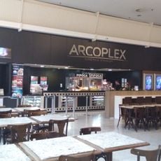
Buses and regional highways connect the municipality to Porto Alegre, making travel manageable for visitors. Schools, healthcare, and shops are scattered throughout the main town and surrounding areas.
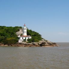
The coastal and agricultural setting allows residents to remain connected to both fishing and farming year-round, creating a dual livelihood that shapes daily work and community rhythms.
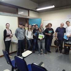
Location: Rio Grande do Sul
Elevation above the sea: 1 m
Shares border with: Balneário Pinhal, Capivari do Sul, Mostardas
Website: http://palmaresdosul.rs.gov.br
GPS coordinates: -30.25778,-50.51000
Latest update: December 8, 2025 13:41
Estádio Passo D'Areia
69.7 km
Museum of Science and Technology
67.8 km
Rua Gonçalo de Carvalho
60.1 km
Porto Alegre Botanical Garden
68.2 km
Parque Germânia
67.6 km
Solidão Lighthouse
49.5 km
Morro da Polícia
67.8 km
Itapuã State Park
47.5 km
Porto Alegre Brazil Temple
67.1 km
Museum of Natural Sciences
68.2 km
Lami José Lutzenberger Biological Reserve
57.7 km
Museu Anchieta de Ciências Naturais
69.1 km
Instituto de Matemática da Universidade Federal do Rio Grande do Sul
62.3 km
Banhado dos Pachecos Wildlife Refuge
49.1 km
Itapuã da Lagoa Lighthouse
54.7 km
Mother Church of Our Lady of the Conception in Viamão
53.2 km
Museu Antropológico Caldas Júnior
48.7 km
Morro de Osório Protected Area
46 km
Igreja Universitária Cristo Mestre
67.6 km
Phare de Quintão
26.9 km
Arcoplex Boulevard Assis Brasil
67.3 km
Igreja Nossa Senhora dos Anjos
58.1 km
Fonte Imperial
48.9 km
Biblioteca Pública Municipal Júlio Costa
48.7 km
Parque Natural Municipal Saint’Hilaire
59.3 km
Collection of the Museu de Armas General Osório
41.2 km
Museu da Via Férrea e Antropológico de Osório
47.4 km
Arcoplex Gravataí Shopping Center
58.1 kmVisited this place? Tap the stars to rate it and share your experience / photos with the community! Try now! You can cancel it anytime.
Discover hidden gems everywhere you go!
From secret cafés to breathtaking viewpoints, skip the crowded tourist spots and find places that match your style. Our app makes it easy with voice search, smart filtering, route optimization, and insider tips from travelers worldwide. Download now for the complete mobile experience.
A unique approach to discovering new places❞
— Le Figaro
All the places worth exploring❞
— France Info
A tailor-made excursion in just a few clicks❞
— 20 Minutes