Brasilândia, Municipality in Mato Grosso do Sul, Brazil.
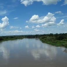
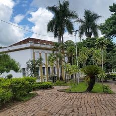
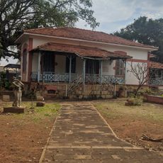
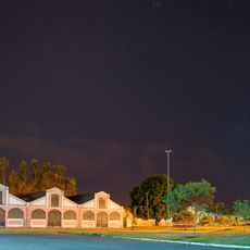
Brasilândia is a municipality in Mato Grosso do Sul state, located in Brazil's central-south region. The town sits at about 343 meters in elevation and functions as part of the state's administrative framework.
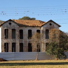
The municipality was officially founded on April 25, 1957, creating a new administrative division in the Brazilian state system. This establishment reflected the regional development and reorganization happening across Mato Grosso do Sul.
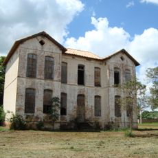
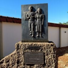
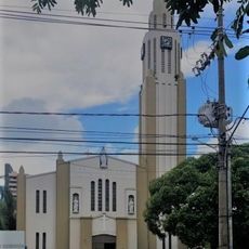
The municipality integrates elements from indigenous communities and regional traditions, reflecting the diverse heritage of Mato Grosso do Sul state.
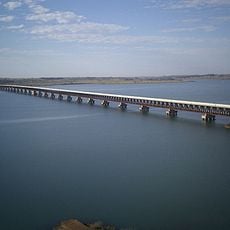
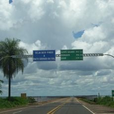
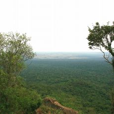
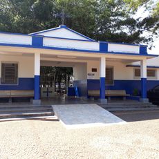
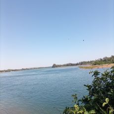
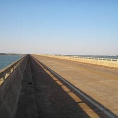
The town sits within the region's road network and can be reached via the main transportation routes of Mato Grosso do Sul. Visitors should expect a rural setting where facilities are typical of smaller municipalities in the state.
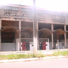
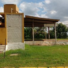
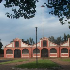
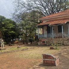
Recent municipal investments include substantial funding for infrastructure improvements, with nearly 1 million reais allocated for public facility enhancements.
The community of curious travelers
AroundUs brings together thousands of curated places, local tips, and hidden gems, enriched daily by 60,000 contributors worldwide.