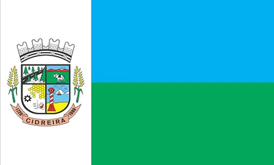
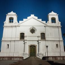
Cidreira, Beach municipality in Rio Grande do Sul, Brazil.
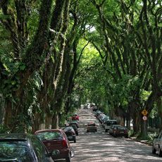
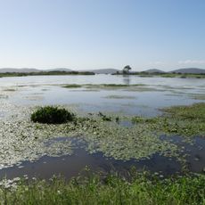
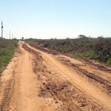
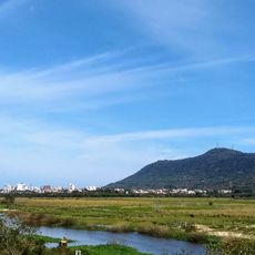
Cidreira is a coastal municipality in northern Rio Grande do Sul with flat terrain that spreads across a large area. The landscape features several lagoons and wetlands that shape the character of the surroundings.
The area was originally inhabited by indigenous peoples before becoming an independent municipality in the late 1980s. The separation from neighboring areas marked a turning point in the territory's development.
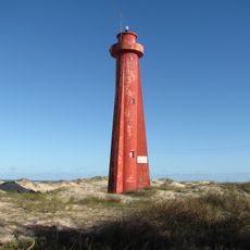
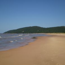
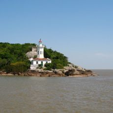
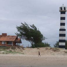
The place has a deep connection to the sea that shapes how people live and spend their time here. Visitors can see this relationship in the way locals use the beaches and waterfront as community gathering spaces.
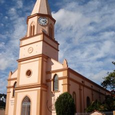
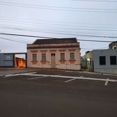
The area is flat and easy to explore on foot, with neighborhoods spread across manageable distances. Visitors should expect the infrastructure of a smaller place, with straightforward amenities and services.
The place is known for year-round fishing opportunities in its lakes and waters. This natural advantage has shaped the local livelihood and skills of the people for generations.
Location: Rio Grande do Sul
Elevation above the sea: 28 m
Shares border with: Tramandaí, Balneário Pinhal, Capivari do Sul, Osório
Website: http://cidreira.rs.gov.br
GPS coordinates: -30.16083,-50.23389
Latest update: December 7, 2025 20:23
Museum of Science and Technology
91.4 km
Rua Gonçalo de Carvalho
82.3 km
Porto Alegre Botanical Garden
91.7 km
Parque Germânia
90.3 km
Khadro Ling Buddhist Temple
89.1 km
Solidão Lighthouse
64.7 km
Itapuã State Park
76.1 km
Porto Alegre Brazil Temple
90.1 km
Lami José Lutzenberger Biological Reserve
84.8 km
São Francisco de Paula National Forest
83.5 km
Instituto de Matemática da Universidade Federal do Rio Grande do Sul
85.9 km
Banhado dos Pachecos Wildlife Refuge
69.7 km
Igreja Gabriel
85 km
Itapuã da Lagoa Lighthouse
83.2 km
Mother Church of Our Lady of the Conception in Viamão
76.6 km
Museu Antropológico Caldas Júnior
46.5 km
Morro de Osório Protected Area
31.3 km
Capão da Canoa Lighthouse
51.3 km
Igreja Universitária Cristo Mestre
91.2 km
Phare de Quintão
27 km
Igreja Nossa Senhora dos Anjos
77 km
Arcoplex Boulevard Assis Brasil
89.5 km
Fonte Imperial
46.8 km
Biblioteca Pública Municipal Júlio Costa
46.6 km
Parque Natural Municipal Saint’Hilaire
83.2 km
Collection of the Museu de Armas General Osório
19.5 km
Museu da Via Férrea e Antropológico de Osório
30.5 km
Arcoplex Gravataí Shopping Center
77.2 kmVisited this place? Tap the stars to rate it and share your experience / photos with the community! Try now! You can cancel it anytime.
Discover hidden gems everywhere you go!
From secret cafés to breathtaking viewpoints, skip the crowded tourist spots and find places that match your style. Our app makes it easy with voice search, smart filtering, route optimization, and insider tips from travelers worldwide. Download now for the complete mobile experience.
A unique approach to discovering new places❞
— Le Figaro
All the places worth exploring❞
— France Info
A tailor-made excursion in just a few clicks❞
— 20 Minutes