
Missal, municipality in Paraná, Brasil
Location: Paraná
Elevation above the sea: 262 m
Shares border with: Santa Helena, Medianeira, Itaipulândia, Diamante d'Oeste, Ramilândia
Website: https://missal.pr.gov.br/prefeitura/html
GPS coordinates: -25.09194,-54.24778
Latest update: March 21, 2025 17:11

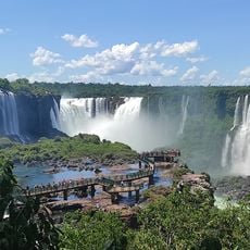
Iguaçu Falls
69.6 km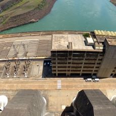
Itaipu Dam
49.2 km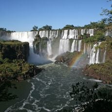
Iguazú National Park
48.8 km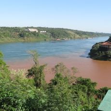
Triple Frontier
65.7 km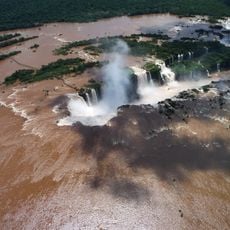
Devil's Throat
69.8 km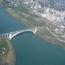
Friendship Bridge
58.5 km
Iguaçu National Park
68.4 km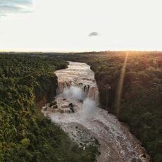
Saltos del Monday
65.1 km
Feirinha Puerto Iguazú
64.8 km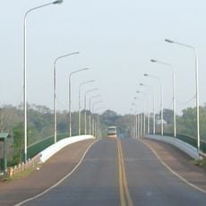
Tancredo Neves Bridge
63.7 km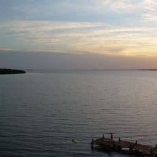
Itaipu Reservoir
21.2 km
Estádio Olímpico Regional Arnaldo Busatto
76.3 km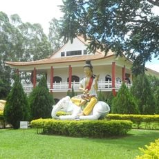
Buddhist Temple of Foz do Iguaçu
55.4 km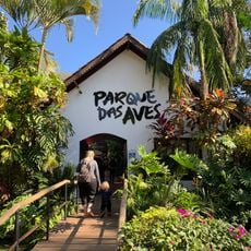
Parque das Aves
62.9 km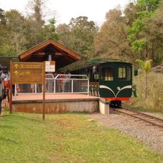
Rainforest Ecological Train
69 km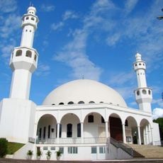
Omar Ibn Al-Khatab Mosque
58.2 km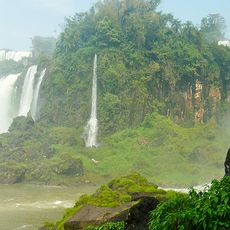
Isla de San Martín
69.1 km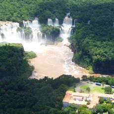
Trinational Biodiversity Corridor
65.7 km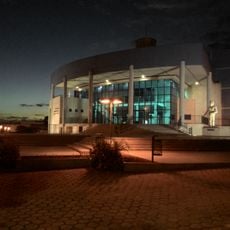
Teatro Municipal de Toledo
65.8 km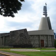
Christ the King Cathedral, Toledo
65.1 km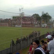
Estadio Juan Eudes Pereira
64.1 km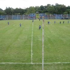
Estadio Km 12 Monday
66.5 km
Cathedral of San Juan Bautista
61.1 km
Iguazu National Park
62 km
Cine Cataratas
61.1 km
Hospital De Puerto Iguazú Marta Teodora Schwarz
65.6 km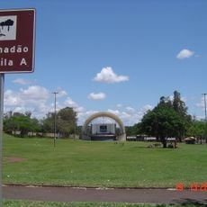
Gramadão da Vila A
55.8 km
Cathedral of St. Blaise, Ciudad del Este
59.7 kmReviews
Visited this place? Tap the stars to rate it and share your experience / photos with the community! Try now! You can cancel it anytime.
Discover hidden gems everywhere you go!
From secret cafés to breathtaking viewpoints, skip the crowded tourist spots and find places that match your style. Our app makes it easy with voice search, smart filtering, route optimization, and insider tips from travelers worldwide. Download now for the complete mobile experience.

A unique approach to discovering new places❞
— Le Figaro
All the places worth exploring❞
— France Info
A tailor-made excursion in just a few clicks❞
— 20 Minutes