
Serranópolis, human settlement in Brazil
Location: Goiás
Elevation above the sea: 750 m
Shares border with: Jataí, Aporé, Chapadão do Céu, Itarumã, Mineiros
GPS coordinates: -18.30583,-51.96194
Latest update: March 6, 2025 09:14

Emas National Park
104 km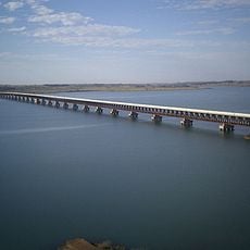
Rollemberg–Vuolo Road–Railway Bridge
224 km
Affonso Penna bridge
291.4 km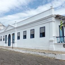
Count of Arcos Palace
327.5 km
Porto de Alencastro bridge
180.4 km
Stade Engenheiro Luthero Lopes
347.7 km
Estádio JK
287.4 km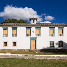
Museu das Bandeiras
327.2 km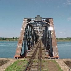
Puente Francisco de Sá
278.8 km
Church of Our Lady of the Good Death
327.5 km
Serra Azul State Park
277.9 km
Serra Dourada State Park
304.7 km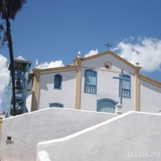
Church of Saint Francis of Paola
327.4 km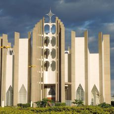
Holy Spirit Cathedral, Jataí
53.1 km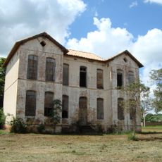
Palácio do Imperador
264.3 km
Cascalheira
273.6 km
Cisalpina Private Natural Heritage Reserve
325.1 km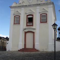
Museum of Sacred Art
327.5 km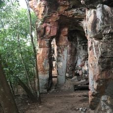
Rock art sites of Alcinópolis
184.3 km
Emperor's Palace (Former military colony)
264.2 km
Red Water Museum
251.3 km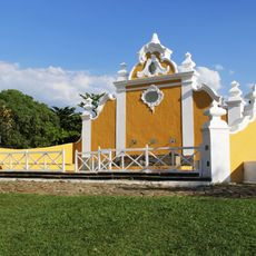
Largo do Chafariz
327.3 km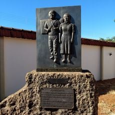
Museu Histórico da Colonização de Pereira Barreto
275.3 km
Conjunto arquitetônico e urbanístico da Rua João Pessoa, antiga da Fundição
327.5 km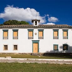
Casa de Câmara e Cadeia
327.2 km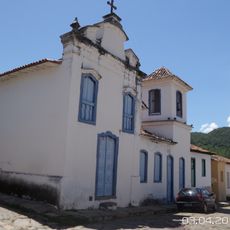
Church of Our Lady of the Abbey
327.6 km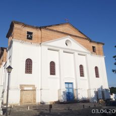
Roman Catholic Cathedral of Goiás
327.5 km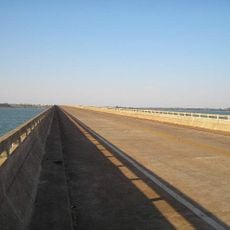
Ponte Novo Oriente
276.2 kmReviews
Visited this place? Tap the stars to rate it and share your experience / photos with the community! Try now! You can cancel it anytime.
Discover hidden gems everywhere you go!
From secret cafés to breathtaking viewpoints, skip the crowded tourist spots and find places that match your style. Our app makes it easy with voice search, smart filtering, route optimization, and insider tips from travelers worldwide. Download now for the complete mobile experience.

A unique approach to discovering new places❞
— Le Figaro
All the places worth exploring❞
— France Info
A tailor-made excursion in just a few clicks❞
— 20 Minutes