Cassilândia, Municipality in Mato Grosso do Sul, Brazil
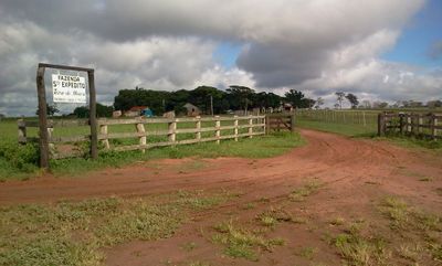
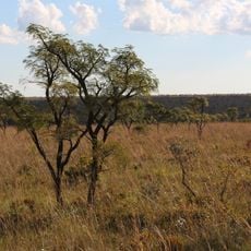
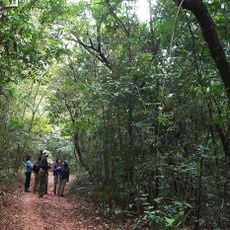
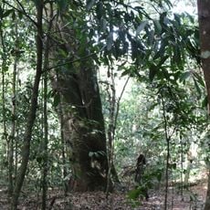
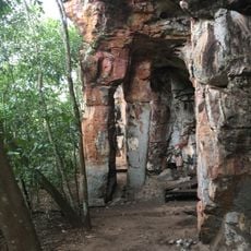
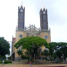
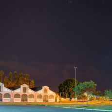
Cassilândia is a municipality in Mato Grosso do Sul located in Brazil's Central-West region, situated on elevated terrain and covering extensive land area. The town serves as a local center for agricultural and pastoral activities across the surrounding countryside.
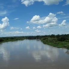
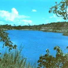
The municipality was founded in 1954 and took its name from the Cassilândia River that flows through the region. This naming marked the start of formal settlement and development in the area.
The community maintains strong agricultural traditions with annual rodeo celebrations in July and August that bring together people from nearby areas. These events are woven into local life and reflect the region's deep connection to cattle ranching.
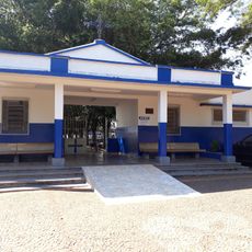
The town center is easy to navigate, with basic services and facilities readily accessible to visitors. Travelers will find accommodations and supply options conveniently located throughout the area.
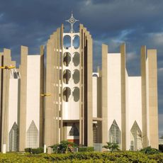
The municipality is home to both private and state-operated colleges, and is served by an international airport. These facilities give it unusual importance for a town of its size.
Location: Mato Grosso do Sul
Inception: 1954
Elevation above the sea: 566 m
Shares border with: Chapadão do Sul, Aporé, Inocência, Itajá, Paranaíba
Website: http://cassilandia.ms.gov.br
GPS coordinates: -19.11278,-51.73389
Latest update: December 7, 2025 10:08
Emas National Park
169.4 km
Rollemberg–Vuolo Road–Railway Bridge
134.1 km
Puente Maurício Joppert
299.3 km
Eng Souza Dias Dam
185.8 km
Porto de Alencastro bridge
96.6 km
Nova Avanhandava Dam
274.8 km
Orlando Moura International Autodrome
323.9 km
Puente Francisco de Sá
187.1 km
Aguapeí State Park
236.7 km
Holy Spirit Cathedral, Jataí
136.6 km
Matas do Segredo State Park
331.3 km
Lagoa São Paulo Reserve
288 km
Palácio do Imperador
171.8 km
Parque Estadual do Prosa
331.5 km
Cascalheira
182.2 km
Cisalpina Private Natural Heritage Reserve
236.1 km
Rock art sites of Alcinópolis
225.7 km
Cathedral Our Lady (Votuporanga-SP)
234.8 km
Emperor's Palace (Former military colony)
171.7 km
Estação Ferroviária de Cosmorama
254 km
Red Water Museum
173 km
Cemitério de Guararapes SP
265.1 km
Museu Histórico da Colonização de Pereira Barreto
182.6 km
House of the Chief Engineer of Araçatuba Central Railroad
269.3 km
Araçatuba Central Railroad Locomotive Workshop
269 km
Conjunto Ferroviário Central de Araçatuba
269 km
Ponte Novo Oriente
183.4 km
Museu Histórico e Pedagógico Marechal Cândido Rondon
269.3 kmVisited this place? Tap the stars to rate it and share your experience / photos with the community! Try now! You can cancel it anytime.
Discover hidden gems everywhere you go!
From secret cafés to breathtaking viewpoints, skip the crowded tourist spots and find places that match your style. Our app makes it easy with voice search, smart filtering, route optimization, and insider tips from travelers worldwide. Download now for the complete mobile experience.
A unique approach to discovering new places❞
— Le Figaro
All the places worth exploring❞
— France Info
A tailor-made excursion in just a few clicks❞
— 20 Minutes