
Doutor Ulysses, municipality in the state of Paraná in Brazil
Location: Paraná
Elevation above the sea: 795 m
Shares border with: Sengés, Jaguariaíva
GPS coordinates: -24.56778,-49.42000
Latest update: March 3, 2025 00:02
Alto Ribeira State and Tourist Park
86.4 km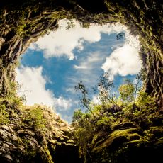
Campos Gerais National Park
77.2 km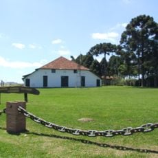
Parque Histórico de Carambeí
83 km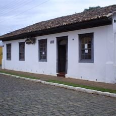
Museu do Tropeiro
64.2 km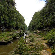
Cerrado State Park
50.7 km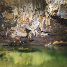
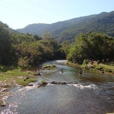
Caverna de Santana
72.4 km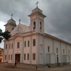
Parish Church of Piraí do Sul
52.2 km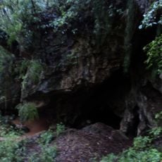
Gruta da Lancinha
68.2 km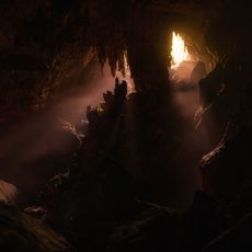
Caverna do Morro Preto
73.3 km
Piraí do Sul National Forest
59.2 km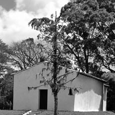
Capela de Santa Bárbara do Pitangui
84.4 km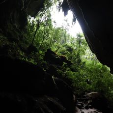
Couto Cave
73.1 km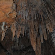
Campinhos State Park
62 km
Jaguariaíva River Canyon
50.9 km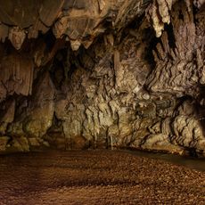
Caverna Água Suja
72.2 km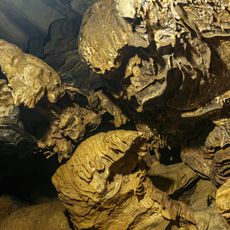
Caverna Ouro Grosso
75.3 km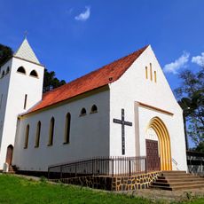
Igreja Santa Terezinha de Terra Nova de Castro
66.4 km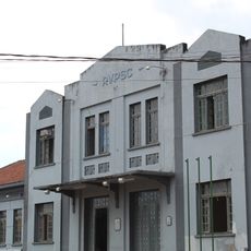
Estação Ferroviária de Jaguariaíva
45.7 km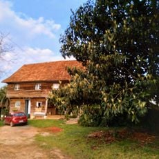
Das Kolonistenhaus
67.1 km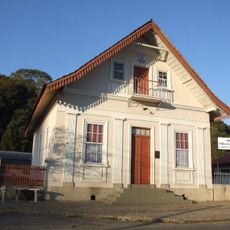
Antiga Prefeitura de Almirante Tamandaré
83.3 km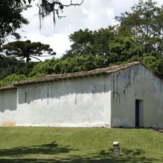
Capela de Santa Bárbara do Pitangui
84.4 km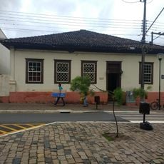
Casa situada à Rua Jorge Xavier da Silva, esquina com Benjamin Constant
64.4 km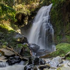
Morro do Ouro Municipal Nature Park
59.2 km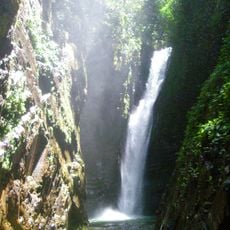
Cachoeira das Andorinhas
71 km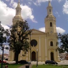
Igreja matriz da Paróquia Sant'Ana de Castro
64.1 km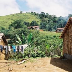
Quilombo Cangume
59.2 km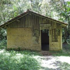
Museu de Cultura Tradicional Serra dos Motta
74.8 km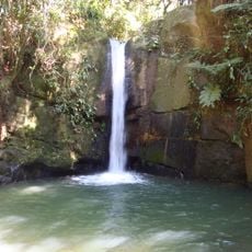
Cachoeiras do Sem Fim
76.4 kmReviews
Visited this place? Tap the stars to rate it and share your experience / photos with the community! Try now! You can cancel it anytime.
Discover hidden gems everywhere you go!
From secret cafés to breathtaking viewpoints, skip the crowded tourist spots and find places that match your style. Our app makes it easy with voice search, smart filtering, route optimization, and insider tips from travelers worldwide. Download now for the complete mobile experience.

A unique approach to discovering new places❞
— Le Figaro
All the places worth exploring❞
— France Info
A tailor-made excursion in just a few clicks❞
— 20 Minutes