Enable Location

We need your location to show you interesting places around you

Discover nearby places

Find interesting locations and hidden gems around you

Precise directions

Get accurate directions and distances to places

Your location is never shared with other users. It's only used when you tap the location button.

Piraí do Sul

Log in to your account

Start exploring — it's free

Trusted by 63,118 travelers worldwide

Continue with Google
Continue with Apple
or

We will send you a code to connect

By continuing, you accept our Terms and Conditions and our Privacy Policy

Check your inbox

We've sent a pincode in your inbox. Please enter the code below.

Discussion Reviews 1 Photos
14.6k Popularity

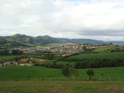
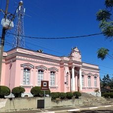
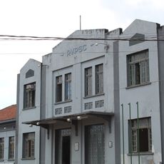
Piraí do Sul, Mountain municipality in Paraná, Brazil.

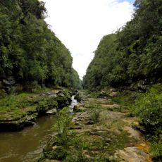
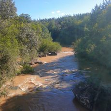
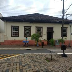
Piraí do Sul is a municipality situated on elevated terrain in southern Paraná at around 1000 meters elevation. The landscape is shaped by farmland and natural vegetation spread across rolling hills and valleys.

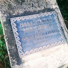
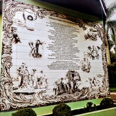
Indigenous peoples including the Carijó and Kaingáng lived across this region before European settlement. Migration waves accelerated in the 1940s when settlers moved here seeking new opportunities.

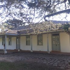
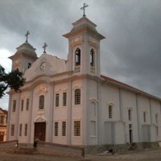
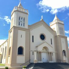
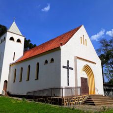
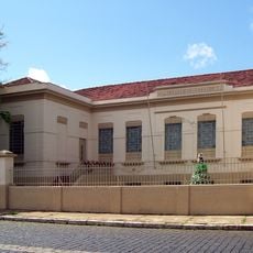
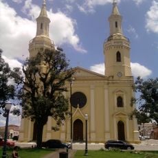
The Shrine of Our Lady of the Sprout draws pilgrims throughout the year who gather for prayer and religious celebrations. This sacred site shapes how locals and visitors experience the town's spiritual life.

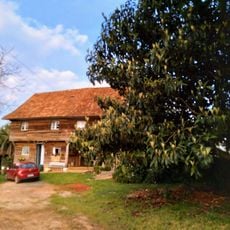
The municipality is best explored by car since it covers a wide area with dispersed farms and rural properties. Most facilities are within easy driving distance and the rolling terrain is accessible for visitors.

This municipality ranks as Brazil's fourth most visited religious destination, a striking position for a town of its size. Few travelers expect such a major pilgrimage site to exist in this rural setting.

The community of curious travelers

AroundUs brings together thousands of curated places, local tips, and hidden gems, enriched daily by 60,000 contributors worldwide.

Start exploring
Location
Elevation above the sea
1,022 m
Shares border with
Castro, Arapoti, Doutor Ulysses, Jaguariaíva, Tibagi, Ventania
GPS coordinates
-24.52583,-49.94889
Latest update
December 7, 2025 20:21
Reviews
Share your experience

No review yet

Discussions
Start a discussion...

No discussion yet

« Piraí do Sul - Mountain municipality in Paraná, Brazil » is provided by Around Us (aroundus.com). Images and texts are derived from Wikimedia project under a Creative Commons license. You are allowed to copy, distribute, and modify copies of this page, under the conditions set by the license, as long as this note is clearly visible.

Discover hidden gems everywhere you go!

From secret cafés to breathtaking viewpoints, skip the crowded tourist spots and find places that match your style. Our app makes it easy with voice search, smart filtering, route optimization, and insider tips from travelers worldwide. Download now for the complete mobile experience.

Around Us App Screenshot

A unique approach to discovering new places

Le Figaro

All the places worth exploring

France Info

A tailor-made excursion in just a few clicks

20 Minutes

Around Us
Travel Guide & Maps
Download

Send to your phone

QR Code
1

Open the camera app on your mobile.

2

Point at the QR code with your camera. A notification will appear.

3

Tap the notification to open the link.