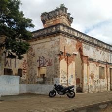
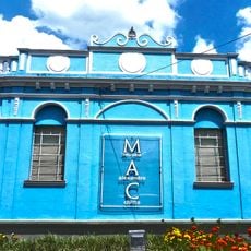
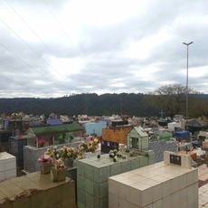
Carlópolis, Municipality in Norte Pioneiro, Paraná, Brazil
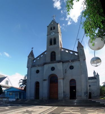
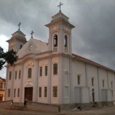
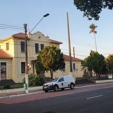
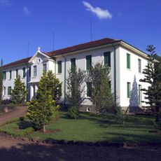
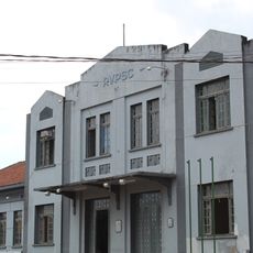
Carlópolis is a municipality in the Norte Pioneiro region of Paraná, situated on elevated terrain with agricultural land surrounding a compact urban center. The town itself contains shops, schools, and services arranged around a main central area.
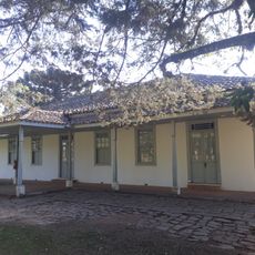
The settlement was founded in the early 1900s as Paraná expanded into less populated regions. Agricultural and commercial activity transformed it into an independent municipality over the following decades.
The people here maintain their ties to the land through seasonal festivals and gatherings that mark the local calendar. These events bring the community together and keep traditions alive in everyday life.
The surrounding roads connect well to neighboring towns, making it easy to move between locations. The local rhythm follows agricultural cycles, so timing a visit around farming seasons gives better insight into how the place works.
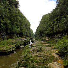
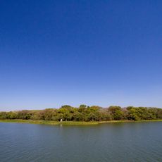
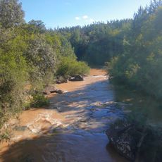
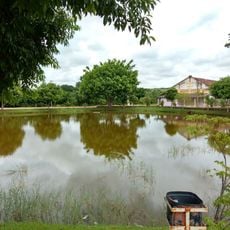
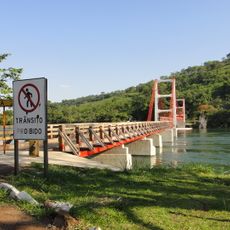
The town sits on elevated land that provides natural protection while offering water access for farming. This geographic advantage was key to why settlers chose this location and why agriculture thrived here.
The community of curious travelers
AroundUs brings together thousands of curated places, local tips, and hidden gems, enriched daily by 60,000 contributors worldwide.