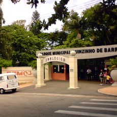
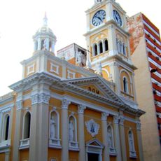
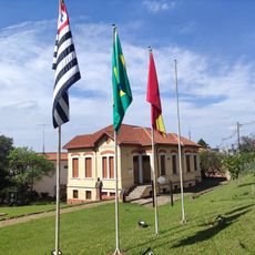
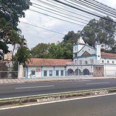
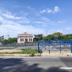
Ibiúna, Agricultural municipality in São Paulo, Brazil
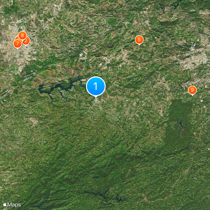
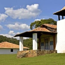
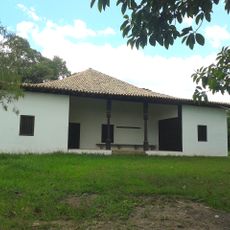
Ibiúna is a municipality in São Paulo state located at 996 meters elevation, forming part of the Sorocaba Metropolitan Region. The area consists mainly of agricultural land, with settlements distributed between a central zone and surrounding suburban regions.
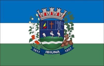
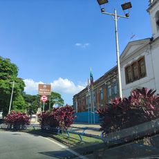
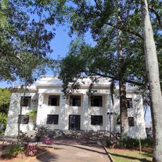
This municipality was established on March 24, 1857 as an independent administrative entity in São Paulo state. Its founding marked the beginning of organized settlement in this region.
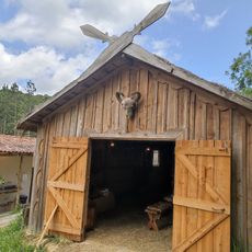
Japanese immigrants shaped farming practices in this municipality and introduced cultivation methods that remain visible in the landscape today. Their influence appears in the patterns of fields and the crops grown locally, which reflect these long-standing traditions.
Access to the area involves winding mountain roads, which can be challenging during rainy weather. Visitors should expect longer travel times and be prepared for varying road conditions.
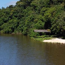
Much of this municipality falls within protected conservation areas, including the Serra do Mar Environmental Protection Area and Jurupará State Park. These nature reserves provide visitors access to forested landscapes and important wildlife habitats.
Location: São Paulo
Inception: March 24, 1857
Elevation above the sea: 996 m
Shares border with: Juquitiba, São Lourenço da Serra, Alumínio, Cotia, Mairinque, Miracatu, Piedade, São Roque, Tapiraí, Votorantim
Website: http://ibiuna.sp.gov.br
GPS coordinates: -23.65639,-47.22250
Latest update: December 14, 2025 20:41
Municipal Zoological Park Quinzinho de Barros
27.9 km
Estádio Municipal Walter Ribeiro
29.7 km
Sorocaba Metropolitan Cathedral
29.7 km
House and Chapel at Sítio de Santo António
22 km
Mosteiro de São Bento
29.7 km
Igreja do Bom Jesus do Bonfim das Águas Vermelhas
29.4 km
Estádio Humberto Reale
29.7 km
House at Sítio do Padre Inácio
30.4 km
Barragem Pedro Beicht
27.5 km
Biblioteca Municipal de Sorocaba
28.3 km
Monastère byzantin des fils et filles miséricordieux de la Croix
27.1 km
Box 54
27.5 km
Museu Ferroviário de Sorocaba
29.6 km
Dream Car Museum
9.1 km
Mercado Municipal
30 km
History Institute, Geographical and Genealogical of Sorocaba
28.8 km
EstaçãoPaula Souza
29.4 km
Vila Viking Brasil
29.8 km
Coreto da Praça Pio XII
29.5 km
Chalé Francês
29.6 km
Antigo Fórum
29.7 km
Fábrica Santa Rosália
29.3 km
Colégio Rubens de Faria
29 km
Sorocabana 10
29.7 km
Sorocaba Clube
29.6 km
Antigo Hospital São Severino e Capela
29.5 km
Capela Nosso Senhor do Bonfim
29.4 km
Usina a Diesel da Cianê
29.3 kmVisited this place? Tap the stars to rate it and share your experience / photos with the community! Try now! You can cancel it anytime.
Discover hidden gems everywhere you go!
From secret cafés to breathtaking viewpoints, skip the crowded tourist spots and find places that match your style. Our app makes it easy with voice search, smart filtering, route optimization, and insider tips from travelers worldwide. Download now for the complete mobile experience.
A unique approach to discovering new places❞
— Le Figaro
All the places worth exploring❞
— France Info
A tailor-made excursion in just a few clicks❞
— 20 Minutes