Log in to your account

AroundUs is a community-driven map of interesting places, built by curious explorers like you. It grows with every review, story, and photo you share.
Connect to save your favorite spots, contribute locations, and create personalized routes.
Continue with Google
Continue with Apple
Continue with X
Continue with Facebook
Continue with email
By continuing, you accept our Terms and Conditions and our Privacy Policy
Create an account
Add to collection
Map
Suggest a change
Share

Jardim São Luís District, Administrative district in São Paulo, Brazil

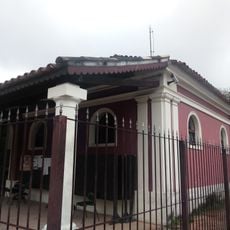
Jardim São Luís is an administrative district within the Subprefecture of M'Boi Mirim in São Paulo, combining residential neighborhoods with commercial areas across a broad area. The district features a mix of residential buildings and business zones, connected by streets that pass through local centers and everyday gathering spots.

The district began as a small settlement in the early 20th century and grew into a densely populated area as São Paulo expanded. This growth reflected the broader development of the city as waves of people moved into the region.

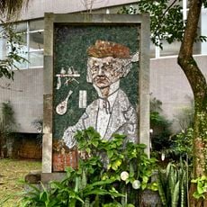
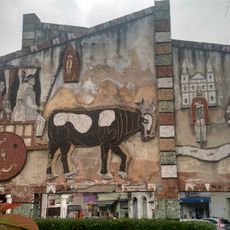
Local markets scattered through the neighborhood sell traditional Brazilian goods that reflect daily life. Community centers here serve as gathering places where residents meet and celebrate together.

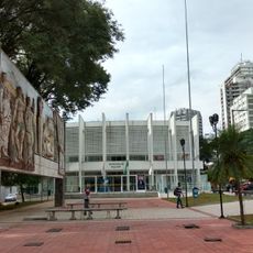
Multiple bus lines connect the district to central São Paulo, making it easy to move around the area. Essential services like schools, healthcare facilities, and shopping areas are available throughout the neighborhood.

The district borders seven neighboring districts including Jardim Ângela and Santo Amaro, creating connections between different communities. This proximity allows visitors to easily explore the transitions between distinct neighborhoods and their different characters.

Location: Subprefecture of M'Boi Mirim

Location: São Paulo

Shares border with: Jardim Ângela District, Vila Andrade District, Cidade Dutra District, Santo Amaro District, Socorro District, Campo Limpo District, Capão Redondo District

Website: http://mboimirim.prefeitura.sp.gov.br

GPS coordinates: -23.68350,-46.74089

Latest update: December 8, 2025 13:44

Photos
Reviews

Visited this place? Tap the stars to rate it and share your experience / photos with the community! Try now! You can cancel it anytime.

« Jardim São Luís District - Administrative district in São Paulo, Brazil » is provided by Around Us (aroundus.com). Images and texts are derived from Wikimedia project under a Creative Commons license. You are allowed to copy, distribute, and modify copies of this page, under the conditions set by the license, as long as this note is clearly visible.

Discover hidden gems everywhere you go!

From secret cafés to breathtaking viewpoints, skip the crowded tourist spots and find places that match your style. Our app makes it easy with voice search, smart filtering, route optimization, and insider tips from travelers worldwide. Download now for the complete mobile experience.

Around Us App Screenshot

A unique approach to discovering new places

Le Figaro

All the places worth exploring

France Info

A tailor-made excursion in just a few clicks

20 Minutes