Enable Location

We need your location to show you interesting places around you

Discover nearby places

Find interesting locations and hidden gems around you

Precise directions

Get accurate directions and distances to places

Your location is never shared with other users. It's only used when you tap the location button.

Jaraguá District

Log in to your account

Start exploring — it's free

Trusted by 62,560 travelers worldwide

Continue with Google
Continue with Apple
or

We will send you a code to connect

By continuing, you accept our Terms and Conditions and our Privacy Policy

Check your inbox

We've sent a pincode in your inbox. Please enter the code below.

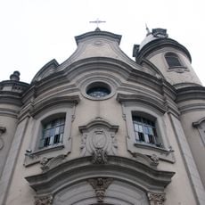
Jaraguá District, Administrative district in northwestern São Paulo, Brazil.

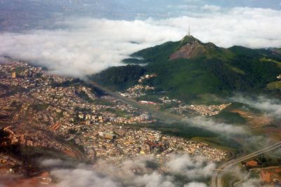
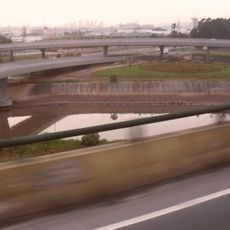
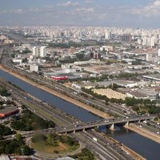
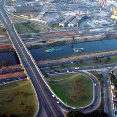
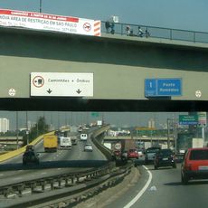
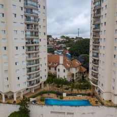
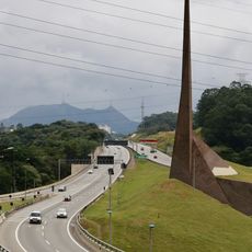
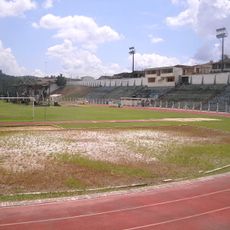
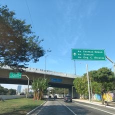
Jaraguá is an administrative district in northwestern São Paulo that covers about 28 square kilometers. The area connects to neighboring municipalities through an extensive road and railway network serving the broader metropolitan region.

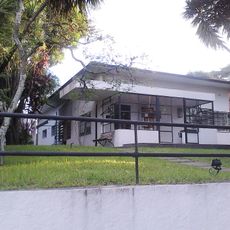
The district became official in 1948 following territorial divisions involving Perus and Pirituba. This formal establishment marked the beginning of its transformation from scattered rural settlements into an urbanized area.

The name comes from an ancient indigenous language, referring to a sacred grotto or valley lord, connecting today's residents to the area's original people.

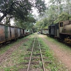
The Jaraguá railway station has operated as a main transportation hub since 1891, connecting visitors to different parts of the São Paulo metropolitan area. This station remains the most practical starting point for accessing the district and traveling across the region.

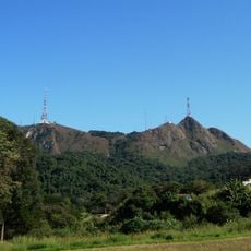
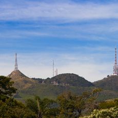
The district contains several protected natural areas within São Paulo's Green Belt, recognized by UNESCO as part of the Atlantic Forest Biosphere Reserve. These wooded patches offer visitors an unexpected escape into nature within the urban surroundings.

The community of curious travelers

AroundUs brings together thousands of curated places, local tips, and hidden gems, enriched daily by 60,000 contributors worldwide.

Start exploring
Location
Shares border with
São Domingos District, Vila Leopoldina District, Lapa District, Anhanguera District, Perus District
GPS coordinates
-23.44669,-46.73956
Latest update
December 7, 2025 19:24
« Jaraguá District - Administrative district in northwestern São Paulo, Brazil » is provided by Around Us (aroundus.com). Images and texts are derived from Wikimedia project under a Creative Commons license. You are allowed to copy, distribute, and modify copies of this page, under the conditions set by the license, as long as this note is clearly visible.

Discover hidden gems everywhere you go!

From secret cafés to breathtaking viewpoints, skip the crowded tourist spots and find places that match your style. Our app makes it easy with voice search, smart filtering, route optimization, and insider tips from travelers worldwide. Download now for the complete mobile experience.

Around Us App Screenshot

A unique approach to discovering new places

Le Figaro

All the places worth exploring

France Info

A tailor-made excursion in just a few clicks

20 Minutes

Around Us
Travel Guide & Maps
Download

Send to your phone

QR Code
1

Open the camera app on your mobile.

2

Point at the QR code with your camera. A notification will appear.

3

Tap the notification to open the link.