Rodovia Anchieta, Highway in São Paulo, Brazil
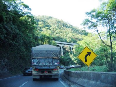
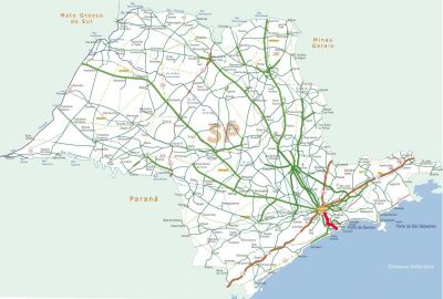
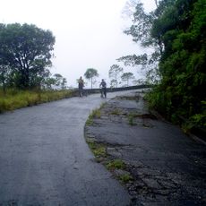
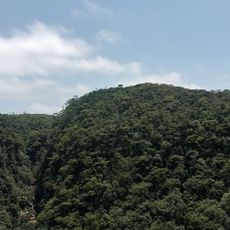
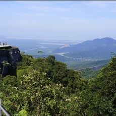
Rodovia Anchieta is a major highway connecting São Paulo city to Santos port and the Atlantic coast. It winds through the Serra do Mar mountain range, with multiple engineering structures built to handle the steep terrain.
Construction began in 1939 and was completed in two stages: northbound lanes in 1947 and southbound lanes in 1953. The highway became crucial for connecting the inland plateau to coastal industry and commerce.
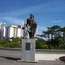
The road bears the name of Jesuit priest José de Anchieta, who established the village of São Paulo dos Campos de Piratininga in 1554.
The road has two lanes in each direction with a reversible traffic system that adjusts lanes based on traffic demand. This setup helps manage congestion during peak hours, particularly for commuter traffic between the city and coast.
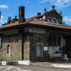
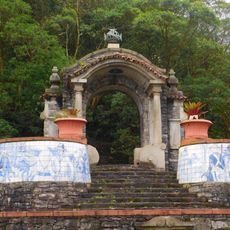
The highway features a distinctive tower structure at the mountain approach that serves as a historic landmark for travelers. This tower becomes a visual reference point for many drivers when approaching the coastal region.
Location: São Paulo
Inception: 1947
Official opening: 1947
GPS coordinates: -23.78944,-46.51944
Latest update: December 7, 2025 10:00
Cidade da Criança
12 km
Estádio Bruno José Daniel
13.4 km
Estrada de manutenção da Ecovias
14.3 km
Sabina Escola Parque do Conhecimento
12.3 km
Estádio Humberto de Alencar Castelo Branco
10.3 km
Parque Natural Estoril
1.9 km
Museu de Santo André Doutor Octaviano Armando Gaiarsa
14.1 km
Rancho da Maioridade
10.7 km
Pinacoteca de São Bernardo do Campo
11.9 km
Paço Municipal de Santo André
14.8 km
Padrão do Lorena
10.6 km
Santo André City Council
14.7 km
Tiled fountain on Rodovia Anchieta
11.6 km
Parque Escola
14.2 km
Cachoeira Itutinga
9.9 km
Pouso de Paranapiacaba
9.8 km
Monumento à Rodovia dos Imigrantes
12.7 km
Fórum de Santo André
14.7 km
Estrada do Lorena, Monumentos de Victor Dubugras e Área de Mata Circundante
10.6 km
Mural da Rodovia dos Imigrantes
14 km
Belvedere Circular
10.5 km
Monument to João Ramalho
14.8 km
Pontilhão da Serra
12 km
Nair Lacerda Municipal Public Library
14.8 km
Grupo Escolar Professor José Augusto de Azevedo Antunes
14.1 km
Parque Deputado José Cicote
12.6 km
Curva do Uau
10.2 km
Crystal Lake Trail of Paranapiacaba
14.1 kmVisited this place? Tap the stars to rate it and share your experience / photos with the community! Try now! You can cancel it anytime.
Discover hidden gems everywhere you go!
From secret cafés to breathtaking viewpoints, skip the crowded tourist spots and find places that match your style. Our app makes it easy with voice search, smart filtering, route optimization, and insider tips from travelers worldwide. Download now for the complete mobile experience.
A unique approach to discovering new places❞
— Le Figaro
All the places worth exploring❞
— France Info
A tailor-made excursion in just a few clicks❞
— 20 Minutes