Enable Location

We need your location to show you interesting places around you

Discover nearby places

Find interesting locations and hidden gems around you

Precise directions

Get accurate directions and distances to places

Your location is never shared with other users. It's only used when you tap the location button.

Log in to your account

Join the adventure

Create your free account and start exploring (like 60k+ others)

We will send you a code to connect

or
Continue with Google
Continue with Apple
By continuing, you accept our Terms and Conditions and our Privacy Policy

Check your inbox

We've sent a pincode in your inbox. Please enter the code below.

Tatuapé District, Administrative district in São Paulo, Brazil.

Description

Tatuapé is a district in eastern São Paulo divided into northern and southern sections by the Radial Leste highway and railway lines. Both areas contain residential neighborhoods, commercial streets, and educational institutions that serve the local community.

History

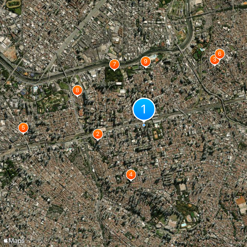
The name comes from the Tupi Guarani language, connecting the place to its indigenous roots. Late in the 19th century, Italian immigrants arrived and established vineyards, transforming the area into a growing settlement.

Culture

Italian immigrants left a lasting mark on the district through vineyards and craft traditions that shaped its character. You can still see this heritage reflected in local shops and family-run restaurants throughout the neighborhoods.

Practical

Two major shopping centers are directly connected to metro stations, offering quick access to downtown São Paulo and Guarulhos International Airport. Local buses and streetcar lines also connect smaller residential areas within the district.

Did you know?

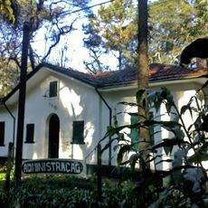
Analia Franco Park contains one of Latin America's largest public swimming pools. The park becomes a popular gathering spot on weekends for families from across the city.

Location
Shares border with
Vila Formosa District, Vila Maria District, Vila Matilde District, Carrão District, Penha District, Água Rasa District, Belém District
GPS coordinates
-23.53951,-46.56663
Latest update
December 20, 2025 11:44

AroundUs brings together thousands of curated places, local tips, and hidden gems, enriched daily by 60,000 contributors worldwide. Discover all places nearby (Subprefecture of Mooca).

« Tatuapé District - Administrative district in São Paulo, Brazil » is provided by Around Us (aroundus.com). Images and texts are derived from Wikimedia project under a Creative Commons license. You are allowed to copy, distribute, and modify copies of this page, under the conditions set by the license, as long as this note is clearly visible.

Discover hidden gems everywhere you go!

From secret cafés to breathtaking viewpoints, skip the crowded tourist spots and find places that match your style. Our app makes it easy with voice search, smart filtering, route optimization, and insider tips from travelers worldwide. Download now for the complete mobile experience.

Around Us App Screenshot

A unique approach to discovering new places

Le Figaro

All the places worth exploring

France Info

A tailor-made excursion in just a few clicks

20 Minutes

Around Us
Travel Guide & Maps
Download

Send to your phone

QR Code
1

Open the camera app on your mobile.

2

Point at the QR code with your camera. A notification will appear.

3

Tap the notification to open the link.