Chest opened
+${chestReward.xp} XP
Explorer
NOUVEAU ×${chestReward.collectible.quantity}
tapez pour fermer
Chest locked

Open chests in the app

Around Us is built for your phone — chests unlock when you walk, explore and capture nearby places.

Enable Location

We need your location to show you interesting places around you

Discover nearby places

Find interesting locations and hidden gems around you

Precise directions

Get accurate directions and distances to places

Your location is never shared with other users. It's only used when you tap the location button.

Arujá

Log in to your account

Start exploring — it's free

Trusted by 72,887 travelers worldwide

Continue with Google
Continue with Apple
or

We will send you a code to connect

By continuing, you accept our Terms and Conditions and our Privacy Policy

Check your inbox

We've sent a pincode in your inbox. Please enter the code below.

Discussion Reviews 2 Photos
4.1k Popularity

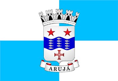
Arujá, Municipality in São Paulo Metropolitan Region, Brazil

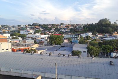
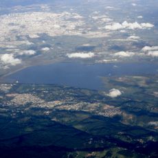
Arujá is a municipality in the São Paulo Metropolitan Region that encompasses residential neighborhoods, commercial areas, and protected natural zones. The town sits in rolling terrain and is crossed by rivers that flow toward the Paraíba do Sul river system.

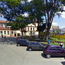
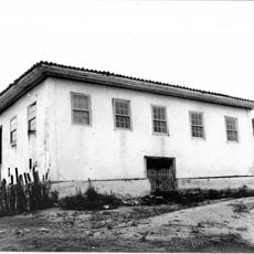
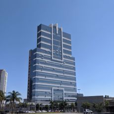
Arujá originated as a rural settlement and grew into an urban center during the twentieth century due to its proximity to São Paulo. This growth transformed it from agricultural land into the mixed residential and industrial municipality it is today.

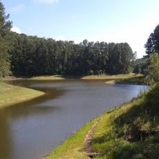
The municipality includes the Mananciais do Rio Paraíba do Sul Environmental Protection Area, which maintains the natural resources of the Paraíba do Sul river basin.

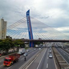
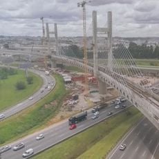
The municipality is well-connected through major roads to neighboring towns like Guarulhos, Santa Isabel, Mogi das Cruzes, and Itaquaquecetuba. This accessibility makes it easy to travel between these communities and explore the broader metropolitan area.

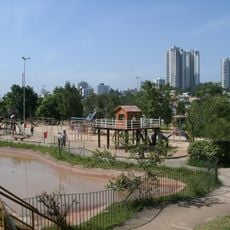
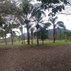
Despite its proximity to São Paulo metropolis, Arujá maintains a population density of 950 inhabitants per square kilometer, preserving green spaces.

The community of curious travelers

AroundUs brings together thousands of curated places, local tips, and hidden gems, enriched daily by 60,000 contributors worldwide.

Start exploring
Location
Elevation above the sea
755 m
Shares border with
Itaquaquecetuba, Guarulhos, Mogi das Cruzes, Santa Isabel
GPS coordinates
-23.39667,-46.32111
Latest update
December 11, 2025 11:07
Reviews
Share your experience

No review yet

Discussions
Start a discussion...

No discussion yet

« Arujá - Municipality in São Paulo Metropolitan Region, Brazil » is provided by Around Us (aroundus.com). Images and texts are derived from Wikimedia project under a Creative Commons license. You are allowed to copy, distribute, and modify copies of this page, under the conditions set by the license, as long as this note is clearly visible.

Discover hidden gems everywhere you go!

From secret cafés to breathtaking viewpoints, skip the crowded tourist spots and find places that match your style. Our app makes it easy with voice search, smart filtering, route optimization, and insider tips from travelers worldwide. Download now for the complete mobile experience.

Around Us App Screenshot

A unique approach to discovering new places

Le Figaro

All the places worth exploring

France Info

A tailor-made excursion in just a few clicks

20 Minutes

Around Us
Travel Guide & Maps
Download

Send to your phone

QR Code
1

Open the camera app on your mobile.

2

Point at the QR code with your camera. A notification will appear.

3

Tap the notification to open the link.