Enable Location

We need your location to show you interesting places around you

Discover nearby places

Find interesting locations and hidden gems around you

Precise directions

Get accurate directions and distances to places

Your location is never shared with other users. It's only used when you tap the location button.

São Luiz do Paraitinga

Log in to your account

Start exploring — it's free

Trusted by 62,032 travelers worldwide

Continue with Google
Continue with Apple
or

We will send you a code to connect

By continuing, you accept our Terms and Conditions and our Privacy Policy

Check your inbox

We've sent a pincode in your inbox. Please enter the code below.

São Luiz do Paraitinga

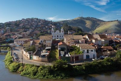
São Luiz do Paraitinga, Administrative division in São Paulo state, Brazil.

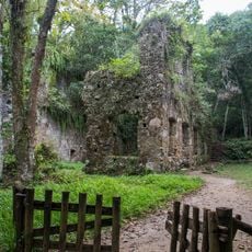
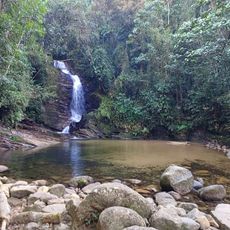
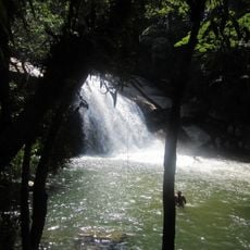
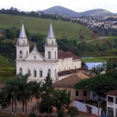
São Luiz do Paraitinga is a municipality in the Paraíba Valley, covering roughly 730 square kilometers between the São Paulo and Rio de Janeiro metropolitan areas. The landscape consists of pastures and forests, with parts protected by Serra do Mar State Park.

The municipality was founded in 1769 and grew to become one of Brazil's twelve most important cities by 1873. This rapid development marked its emergence as a significant regional center.

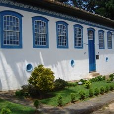
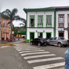
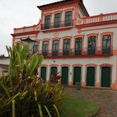
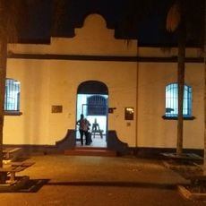
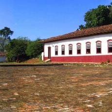
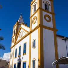
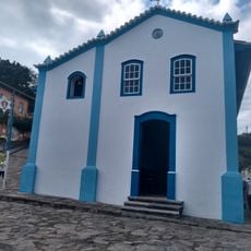
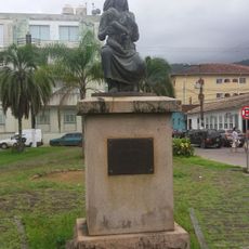
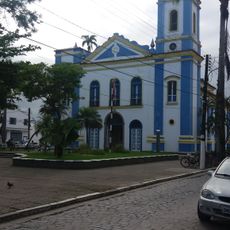
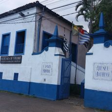
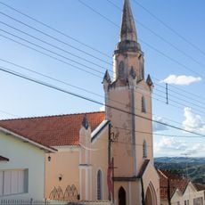
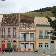
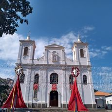
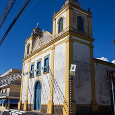
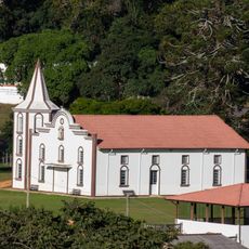
The town preserves around 450 colonial-era buildings that reflect the prosperity from coffee farming and gold mining in past centuries. Walking through the streets, you see this historical architecture woven into daily life today.

The region sits conveniently between two major metropolitan areas, making it accessible from both directions. It is worth visiting year-round, though rainy seasons may affect road conditions and outdoor activities.

A devastating flood in 2010 left its mark on the region and prompted the creation of a local network focused on sustainable development. This event reshaped how the community approaches planning and growth.

The community of curious travelers

AroundUs brings together thousands of curated places, local tips, and hidden gems, enriched daily by 60,000 contributors worldwide.

Start exploring
Location
Inception
1769
Elevation above the sea
741 m
Shares border with
Taubaté, Cunha, Lagoinha, Natividade da Serra, Redenção da Serra, Ubatuba
GPS coordinates
-23.22194,-45.31000
Latest update
December 12, 2025 09:07
« São Luiz do Paraitinga - Administrative division in São Paulo state, Brazil » is provided by Around Us (aroundus.com). Images and texts are derived from Wikimedia project under a Creative Commons license. You are allowed to copy, distribute, and modify copies of this page, under the conditions set by the license, as long as this note is clearly visible.

Discover hidden gems everywhere you go!

From secret cafés to breathtaking viewpoints, skip the crowded tourist spots and find places that match your style. Our app makes it easy with voice search, smart filtering, route optimization, and insider tips from travelers worldwide. Download now for the complete mobile experience.

Around Us App Screenshot

A unique approach to discovering new places

Le Figaro

All the places worth exploring

France Info

A tailor-made excursion in just a few clicks

20 Minutes

Around Us
Travel Guide & Maps
Download

Send to your phone

QR Code
1

Open the camera app on your mobile.

2

Point at the QR code with your camera. A notification will appear.

3

Tap the notification to open the link.