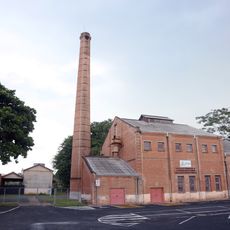
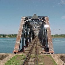
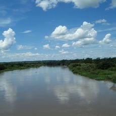
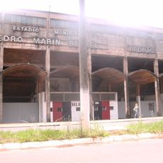
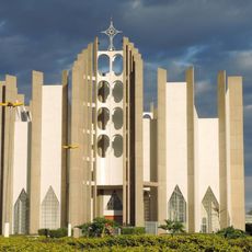
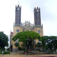
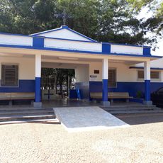
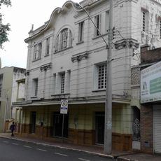
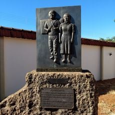
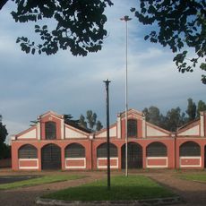
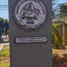
Paranaíba, Municipality in eastern Mato Grosso do Sul, Brazil
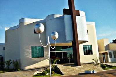
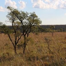
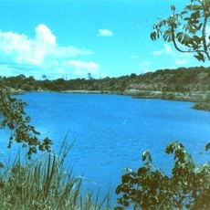
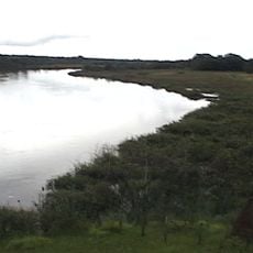
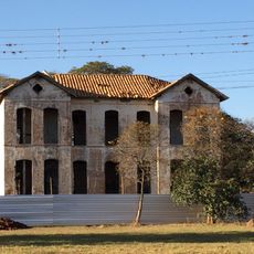
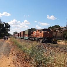
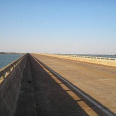
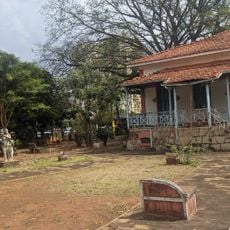
Paranaíba is a municipality in eastern Mato Grosso do Sul that spreads across rolling countryside and agricultural land. The landscape consists of fields, pastures, and scattered settlements connected by regional roads.
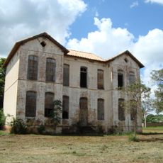
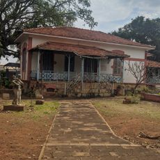
The municipality was founded in 1838 and grew from a small settlement into an established community. It became the easternmost point of Mato Grosso do Sul, marking the state's regional boundary.
The people here have woven agriculture into the fabric of daily life, with local markets and festivals reflecting farming seasons and traditions. You will see how rural heritage shapes the character of the community while it gradually transforms.
The dry season is the best time to visit, when regional roads are most accessible and travel is easier. Bring a map or navigation tool since directions in rural areas can be less obvious.
Temperature swings between cool winter months and hot summer months create distinct seasonal changes that visitors can feel throughout the year. These shifts shape everything from crop planting to the way locals plan their activities.
The community of curious travelers
AroundUs brings together thousands of curated places, local tips, and hidden gems, enriched daily by 60,000 contributors worldwide.