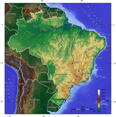
Brazilian Highlands, Highland region in central and eastern Brazil
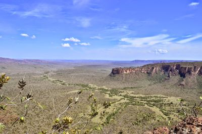
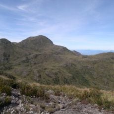
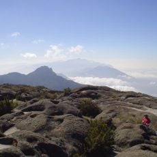
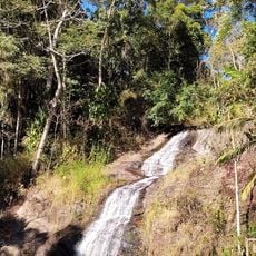
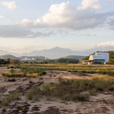
The Brazilian Highlands is a vast plateau and mountain region spanning central and eastern Brazil with elevations between 300 and 900 meters. The landscape consists of gentle plateaus, rolling valleys, and scattered peaks that cover an enormous expanse of the country.
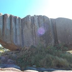
Formation of this landscape began hundreds of millions of years ago when molten rock from deep within the Earth flowed to the surface and spread across vast areas. Over time, wind, rain, and rivers reshaped these massive lava layers into the plateaus and valleys visible today.
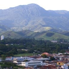
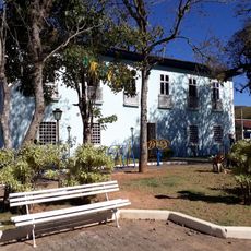
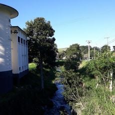
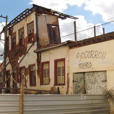
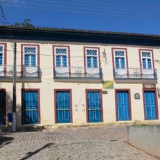
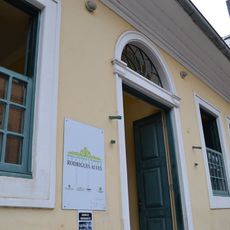
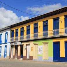
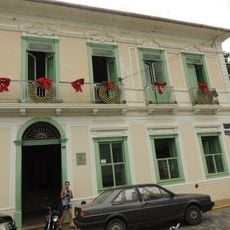
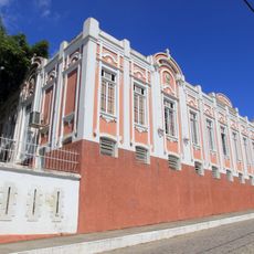
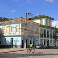
This region forms the heart of Brazil, where millions of people have built cities and towns across the slopes and valleys over centuries. The population concentrated here because of milder temperatures and abundant water sources, making it naturally attractive for settlement.
The best time to explore is during the drier months when roads and trails remain easily accessible. Wear sturdy footwear and prepare for changing weather conditions, as the elevation influences the climate throughout the region.
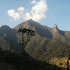
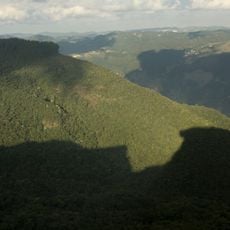
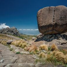
A mountain ridge called Serra do Mar runs like a long wall along the eastern edge, separating the highlands from the coastal lowlands. This ridge contains some of the highest peaks that pierce through the clouds.
The community of curious travelers
AroundUs brings together thousands of curated places, local tips, and hidden gems, enriched daily by 60,000 contributors worldwide.