Chest opened
+${chestReward.xp} XP
Explorer
NOUVEAU ×${chestReward.collectible.quantity}
tapez pour fermer
Chest locked

Open chests in the app

Around Us is built for your phone — chests unlock when you walk, explore and capture nearby places.

Enable Location

We need your location to show you interesting places around you

Discover nearby places

Find interesting locations and hidden gems around you

Precise directions

Get accurate directions and distances to places

Your location is never shared with other users. It's only used when you tap the location button.

São João Nepomuceno

Log in to your account

Start exploring — it's free

Trusted by 72,876 travelers worldwide

Continue with Google
Continue with Apple
or

We will send you a code to connect

By continuing, you accept our Terms and Conditions and our Privacy Policy

Check your inbox

We've sent a pincode in your inbox. Please enter the code below.

São João Nepomuceno
Discussion Reviews 1 Photos
19.5k Popularity

São João Nepomuceno, Municipality in southeast Minas Gerais, Brazil

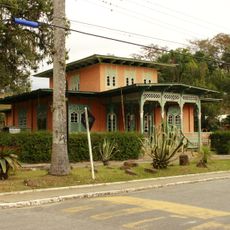
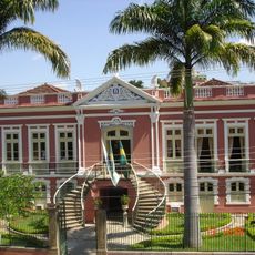
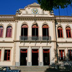
São João Nepomuceno is a municipality in southeastern Minas Gerais situated at 507 meters in elevation across hilly terrain. It comprises several districts, including Carlos Alves, Ituí, Roça Grande, and Taruaçu, which together form an administrative region within the Zona da Mata.

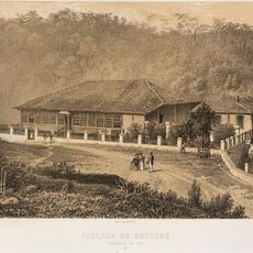
The municipality received official status in 1880 after previously being part of other administrative territories like Rio Pomba, Mar de Espanha, and Rio Novo. This independence marked a turning point in local governance and regional development.

The place takes its name from Saint John of Nepomuk, a Catholic saint venerated as a protector, reflecting deep religious roots in the area. This connection appears in local celebrations and how residents express their faith throughout the region.

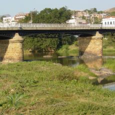
The municipality lies on federal highway BR-267 and state road MG-126, providing good connections to neighboring areas in the region. These transportation links make it accessible for visitors traveling from other parts of Minas Gerais.

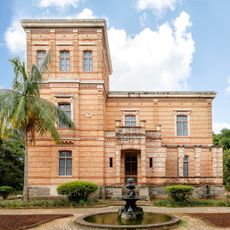
The area is home to Monalisa Castle, a large building complex built during the 1980s by local entrepreneur Edmar Moreira. This unexpected landmark often goes unnoticed by visitors despite its striking presence in the local landscape.

The community of curious travelers

AroundUs brings together thousands of curated places, local tips, and hidden gems, enriched daily by 60,000 contributors worldwide.

Start exploring
Location
Elevation above the sea
507 m
Shares border with
Descoberto, Argirita, Bicas, Chácara, Goianá, Leopoldina, Maripá de Minas, Rio Novo, Rochedo de Minas
GPS coordinates
-21.54000,-43.01083
Latest update
December 7, 2025 10:07
Reviews
Share your experience

No review yet

Discussions
Start a discussion...

No discussion yet

« São João Nepomuceno - Municipality in southeast Minas Gerais, Brazil » is provided by Around Us (aroundus.com). Images and texts are derived from Wikimedia project under a Creative Commons license. You are allowed to copy, distribute, and modify copies of this page, under the conditions set by the license, as long as this note is clearly visible.

Discover hidden gems everywhere you go!

From secret cafés to breathtaking viewpoints, skip the crowded tourist spots and find places that match your style. Our app makes it easy with voice search, smart filtering, route optimization, and insider tips from travelers worldwide. Download now for the complete mobile experience.

Around Us App Screenshot

A unique approach to discovering new places

Le Figaro

All the places worth exploring

France Info

A tailor-made excursion in just a few clicks

20 Minutes

Around Us
Travel Guide & Maps
Download

Send to your phone

QR Code
1

Open the camera app on your mobile.

2

Point at the QR code with your camera. A notification will appear.

3

Tap the notification to open the link.