Chest opened
+${chestReward.xp} XP
Explorer
NOUVEAU ×${chestReward.collectible.quantity}
tapez pour fermer
Chest locked

Open chests in the app

Around Us is built for your phone — chests unlock when you walk, explore and capture nearby places.

Enable Location

We need your location to show you interesting places around you

Discover nearby places

Find interesting locations and hidden gems around you

Precise directions

Get accurate directions and distances to places

Your location is never shared with other users. It's only used when you tap the location button.

Log in to your account

Start exploring — it's free

Trusted by 72,881 travelers worldwide

Continue with Google
Continue with Apple
or

We will send you a code to connect

By continuing, you accept our Terms and Conditions and our Privacy Policy

Check your inbox

We've sent a pincode in your inbox. Please enter the code below.

Discussion Reviews Photo
11.6k Popularity

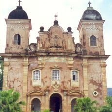
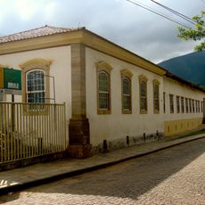
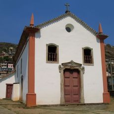
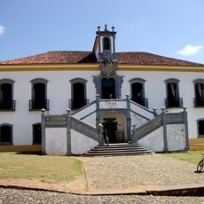
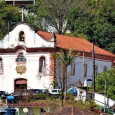
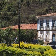
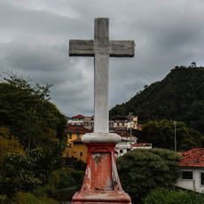
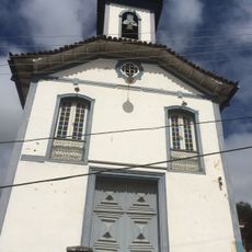
Piranga, Municipality in Minas Gerais, Brazil

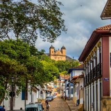
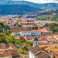
Piranga is a municipality in the Zona da Mata region of Minas Gerais state, situated at an elevation of about 831 meters. The area spans roughly 658 square kilometers and features a landscape marked by rolling hills and numerous waterways.

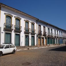
The settlement was originally known as Guarapiranga during colonial times before receiving municipality status in 1841 and being renamed Piranga. This change marked a significant moment in the area's administrative development.

The town is home to several quilombo communities that maintain traditional customs and practices deeply rooted in Brazilian heritage. These settlements form a visible part of daily community life and local identity.

The area is accessible by local roads connecting various settlements within the municipality. Visitors should be prepared for varying road conditions in the hilly landscape.

The municipal territory contains around 26 waterfalls, including notable ones such as Ze de Arminda and Duca falls. These cascades are distributed across the landscape and form a distinctive geographic feature of the region.

The community of curious travelers

AroundUs brings together thousands of curated places, local tips, and hidden gems, enriched daily by 60,000 contributors worldwide.

Start exploring
Location
Elevation above the sea
831 m
Shares border with
Diogo de Vasconcelos, Catas Altas da Noruega, Guaraciaba, Lamim, Mariana, Ouro Preto, Porto Firme, Presidente Bernardes, Senhora de Oliveira
GPS coordinates
-20.68500,-43.30000
Latest update
December 8, 2025 13:40
Reviews
Share your experience

No review yet

Discussions
Start a discussion...

No discussion yet

« Piranga - Municipality in Minas Gerais, Brazil » is provided by Around Us (aroundus.com). Images and texts are derived from Wikimedia project under a Creative Commons license. You are allowed to copy, distribute, and modify copies of this page, under the conditions set by the license, as long as this note is clearly visible.

Discover hidden gems everywhere you go!

From secret cafés to breathtaking viewpoints, skip the crowded tourist spots and find places that match your style. Our app makes it easy with voice search, smart filtering, route optimization, and insider tips from travelers worldwide. Download now for the complete mobile experience.

Around Us App Screenshot

A unique approach to discovering new places

Le Figaro

All the places worth exploring

France Info

A tailor-made excursion in just a few clicks

20 Minutes

Around Us
Travel Guide & Maps
Download

Send to your phone

QR Code
1

Open the camera app on your mobile.

2

Point at the QR code with your camera. A notification will appear.

3

Tap the notification to open the link.