Enable Location

We need your location to show you interesting places around you

Discover nearby places

Find interesting locations and hidden gems around you

Precise directions

Get accurate directions and distances to places

Your location is never shared with other users. It's only used when you tap the location button.

Parque Estadual do Itacolomi

Log in to your account

Start exploring — it's free

Trusted by 61,423 travelers worldwide

Continue with Google
Continue with Apple
or

We will send you a code to connect

By continuing, you accept our Terms and Conditions and our Privacy Policy

Check your inbox

We've sent a pincode in your inbox. Please enter the code below.

Parque Estadual do Itacolomi

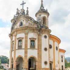
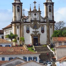
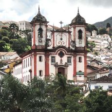
Parque Estadual do Itacolomi, State park in Ouro Preto and Mariana, Brazil.

Description

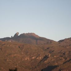
Parque Estadual do Itacolomi spreads across thousands of hectares between two cities and displays a mix of Atlantic Forest in lower areas and rocky outcrops in higher regions. The landscape transitions from dense woodland to open mountain terrain with stone formations and views.

History

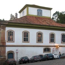
During the colonial gold exploration period in the 18th century, a Bandeirista residence functioned as a fiscal post within the park. This structure documents the economic activity of that era in the region.

Culture

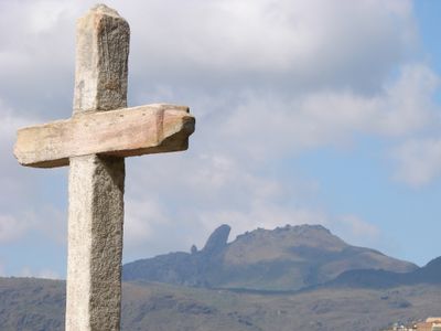
The name comes from the Tupi language and means stone child, as indigenous people saw the peak as offspring of the mother mountain. This interpretation still shapes how visitors today understand and experience the distinctive mountain formation.

Practical

The park is accessible on several days per week and offers various trails for exploration. It is advisable to arrive early and wear sturdy footwear, since the mountain paths can be steep and rocky.

Did you know?

The park houses an endemic orchid species called Habenaria itaculumia, found exclusively within its boundaries. This rare plant makes the protected area a significant location for botanists and nature researchers.

Location
Location
Inception
1967
Address
Rodovia BR 356 km 98 s/n, Bauxita, 35400-000, Ouro Preto, MG
GPS coordinates
-20.40808,-43.48765
Latest update
December 12, 2025 09:00

AroundUs brings together thousands of curated places, local tips, and hidden gems, enriched daily by 60,000 contributors worldwide. Discover all places nearby (Ouro Preto).

« Parque Estadual do Itacolomi - State park in Ouro Preto and Mariana, Brazil » is provided by Around Us (aroundus.com). Images and texts are derived from Wikimedia project under a Creative Commons license. You are allowed to copy, distribute, and modify copies of this page, under the conditions set by the license, as long as this note is clearly visible.

Discover hidden gems everywhere you go!

From secret cafés to breathtaking viewpoints, skip the crowded tourist spots and find places that match your style. Our app makes it easy with voice search, smart filtering, route optimization, and insider tips from travelers worldwide. Download now for the complete mobile experience.

Around Us App Screenshot

A unique approach to discovering new places

Le Figaro

All the places worth exploring

France Info

A tailor-made excursion in just a few clicks

20 Minutes

Around Us
Travel Guide & Maps
Download

Send to your phone

QR Code
1

Open the camera app on your mobile.

2

Point at the QR code with your camera. A notification will appear.

3

Tap the notification to open the link.