Serra do Gandarela National Park, National park in Rio Acima, Brazil.
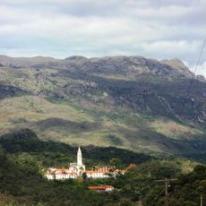
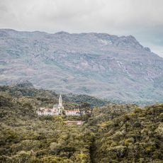
Serra do Gandarela National Park covers 31,270.83 hectares across eight municipalities, including Ouro Preto, Mariana, Santa Bárbara and Rio Acima. It spans the southern Espinhaço Range within the Quadrilátero Ferrífero, holding the largest intact Atlantic Forest remnant in Minas Gerais alongside cerrado campos rupestres and ironstone canga outcrops. Its streams feed the Das Velhas and Doce basins, and the park contains over 100 caves.
The park was created by federal decree on 13 October 2014, after public discussions that began on 10 April 2012. ICMBio prepared the proposal at the request of civil organisations to protect Belo Horizonte's water sources from iron ore mining. The original 2010 proposal of 38,220 hectares was reduced to 31,270.83 hectares, excluding Vale's Apollo iron ore project area.
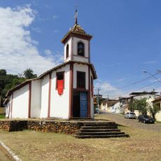
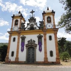
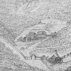
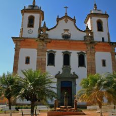
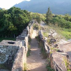
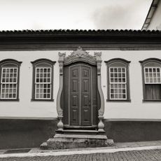
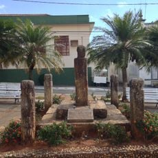
The park's name comes from the Serra do Gandarela, the mountain range it protects. In its southern part, around the Serra de Capanema and Batatal, lie ruins from the 18th and 19th centuries, including the Retiro dos Capetas, the Casa Forte and a stone wall considered part of the Estrada Real. A roughly 300-year-old crossing route runs from Capanema to Caraça.
Visit during drier months when trails are easier to navigate and hiking conditions improve throughout the park. Bring sturdy footwear and plenty of water, as mountain routes require sustained physical effort.
The park's over 100 caves include some with archaeological sites, and the Das Velhas River rising in these mountains supplies more than 60% of Belo Horizonte's water, needing little treatment.
The community of curious travelers
AroundUs brings together thousands of curated places, local tips, and hidden gems, enriched daily by 93,011 contributors worldwide.