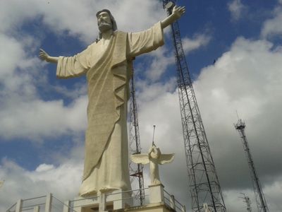
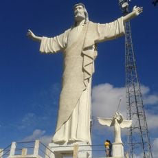
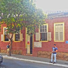
Bom Jesus do Galho, Municipality in eastern Minas Gerais, Brazil.
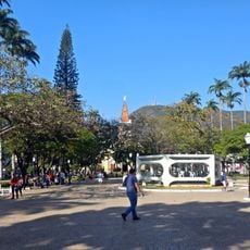
Bom Jesus do Galho is a municipality in eastern Minas Gerais that spans approximately 600 square kilometers at an elevation of about 325 meters. The area is home to around 15,000 residents and sits several hours from the state capital.
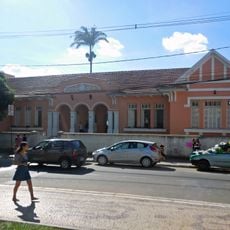
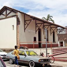
The municipality received its official status on December 31, 1943, marking a turning point in the development of this region. The establishment followed efforts by local residents to create their own administrative center.
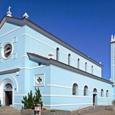
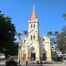
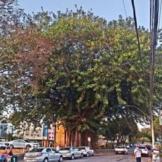
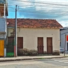
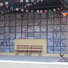
The people of Bom Jesus do Galho, called bom-jesuenses, carry forward the traditions of the Vale do Rio Doce region that shape daily life here. Local communities remain connected to farming practices and handcrafts that have been part of their identity for generations.
When visiting, know that the area operates in the UTC-3 time zone and uses area code 33 for telephone numbers. The terrain is relatively flat and accessible, with the driest months offering the most comfortable travel conditions.
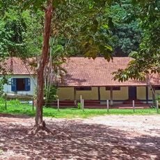
The area has a tropical savanna climate and sits at the border with several other municipalities including Pingo-d'Água, Caratinga, and Timóteo. This location makes it a junction point between different regional centers, offering visitors an easy way to explore multiple places.
The community of curious travelers
AroundUs brings together thousands of curated places, local tips, and hidden gems, enriched daily by 60,000 contributors worldwide.