Alenquer, Municipality in Pará, Brazil
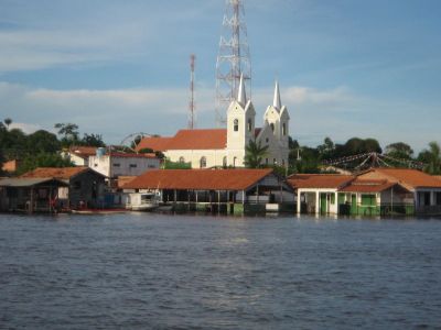
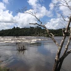
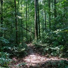
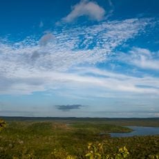
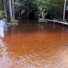
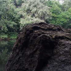
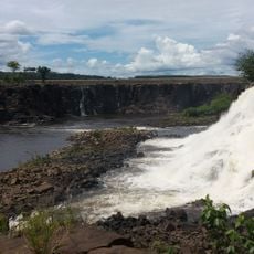
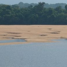
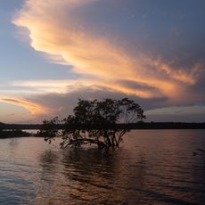
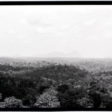
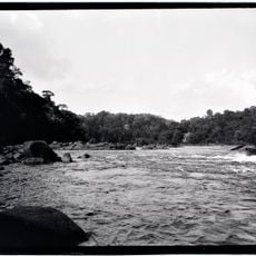
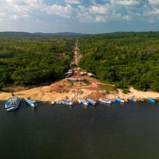
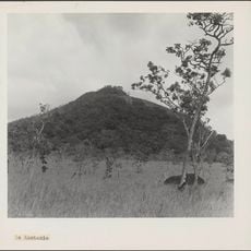
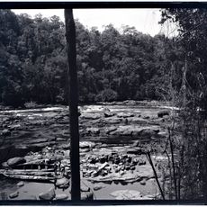
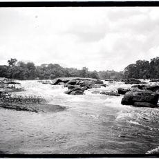
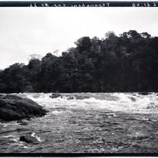
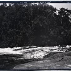
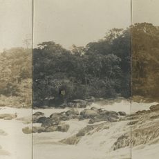
Alenquer is a municipality on the northern bank of the Amazon River, situated across from the city of Santarém. The area is shaped by river landscapes and forest zones that form part of one of the world's largest connected forest ecosystems.
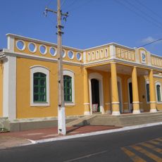
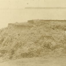
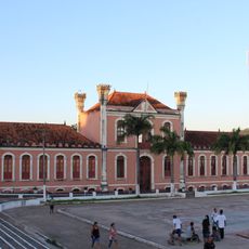
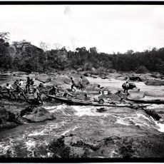
The area was developed during Brazil's colonial expansion and emerged as a river trading center. Its growth is closely tied to the history of Amazon trade networks and the gradual expansion of regional infrastructure.
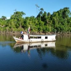
The population maintains deep connections to the river and the forest, with fishing and small-scale farming shaping daily routines. These traditional ways of working the land define how people here understand their relationship with the environment.
The place is accessible by airport and offers various transportation options for getting around the region. It's helpful to prepare for local travel methods and river-based movement, as many areas center on waterways.
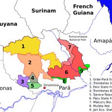
The area contains sections of the Mulata National Forest and Grão-Pará Ecological Station, protected zones within this part of the rainforest. These reserved areas provide habitat for specialized species found in high concentration here and rarely elsewhere.
Location: Pará
Elevation above the sea: 52 m
Shares border with: Santarém, Almeirim, Curuá, Monte Alegre, Óbidos
GPS coordinates: -1.94194,-54.73778
Latest update: December 7, 2025 20:20
Milton de Souza Corrêa Stadium
460.9 km
Marco Zero
461.2 km
Tumucumaque National Park
484.1 km
Museu Sacaca
463.6 km
João Fona cultural centre
53.2 km
Caxiuanã National Forest
368 km
Government of Amapá
393.9 km
National Forest Tapajós
179.3 km
Fort of Saint Antony of Gurupá
349.6 km
Grão-Pará Ecological Station
440.9 km
Rio Cajari Extractive Reserve
343 km
Maicuru Biological Reserve
365.9 km
Jari Ecological Station
277.7 km
Rio Trombetas Biological Reserve
231.5 km
Tapajós-Arapiuns Extractive Reserve
174.9 km
Forte Gurjão
87.9 km
Rosevelt Piek
591.6 km
Reserva de Desenvolvimento Sustentável Itatupã-Baquiá
405.3 km
Trombaka Sula
560.4 km
Ingi Pikin sula
607.1 km
Quilombo Cachoeira Porteira
125.7 km
Kantani
491.2 km
Allamandidon
607 km
Kortufutu Sula
606 km
Grandafutu Sula
605.8 km
Pruru Sula
609.1 km
Kodobaku Sula
607.5 km
Awaladi
510.3 kmVisited this place? Tap the stars to rate it and share your experience / photos with the community! Try now! You can cancel it anytime.
Discover hidden gems everywhere you go!
From secret cafés to breathtaking viewpoints, skip the crowded tourist spots and find places that match your style. Our app makes it easy with voice search, smart filtering, route optimization, and insider tips from travelers worldwide. Download now for the complete mobile experience.
A unique approach to discovering new places❞
— Le Figaro
All the places worth exploring❞
— France Info
A tailor-made excursion in just a few clicks❞
— 20 Minutes