Santo Antônio do Descoberto

Log in to your account

AroundUs is a community-driven map of interesting places, built by curious explorers like you. It grows with every review, story, and photo you share.
Connect to save your favorite spots, contribute locations, and create personalized routes.
Continue with Google
Continue with Apple
Continue with X
Continue with Facebook
Continue with email
By continuing, you accept our Terms and Conditions and our Privacy Policy
Create an account
Add to collection
Map
Suggest a change
Share

Santo Antônio do Descoberto, Municipality in central Goiás, Brazil.

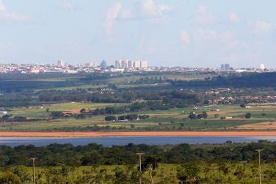
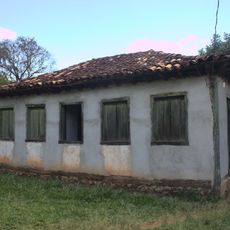
Santo Antônio do Descoberto is a municipality in the Entorno do Distrito Federal region of Goiás and sits at roughly 912 meters elevation across rolling terrain. It provides medical care through two hospitals and has educational facilities, including a campus of the State University of Goiás.

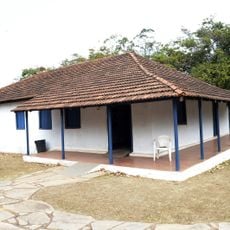
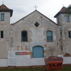
The settlement began in 1726 when enslaved people discovered a religious image in a tree and built a chapel that became a devotion center. This sacred origin as a pilgrimage site shaped the community's development and religious importance over time.

The June 13 festival draws thousands of people who participate in religious processions and celebrations honoring Santo Antônio. This event shapes community life and shows how central the saint is to local identity.

The town is accessible by public transportation and offers basic services for visitors, including lodging and dining options near the center. The best time to visit is in June when major festivals take place, though the area remains accessible year-round.

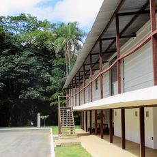
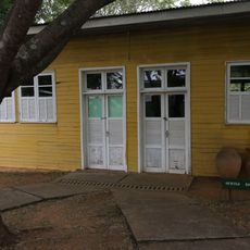
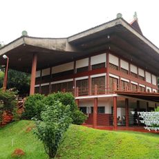
About ten kilometers from the town center lies Cidade Eclética, a spiritual community founded by religious leader Oceano de Sá. This unusual settlement with its own daily life shows alternative ways of living that developed in rural Goiás.

Location: Goiás

Elevation above the sea: 912 m

Shares border with: Alexânia, Novo Gama, Águas Lindas de Goiás, Cocalzinho de Goiás, Corumbá de Goiás, Luziânia

Website: http://santoantoniododescoberto.go.gov.br

GPS coordinates: -15.94000,-48.25500

Latest update: December 7, 2025 10:07

Photos
Reviews

Visited this place? Tap the stars to rate it and share your experience / photos with the community! Try now! You can cancel it anytime.

« Santo Antônio do Descoberto - Municipality in central Goiás, Brazil » is provided by Around Us (aroundus.com). Images and texts are derived from Wikimedia project under a Creative Commons license. You are allowed to copy, distribute, and modify copies of this page, under the conditions set by the license, as long as this note is clearly visible.

Discover hidden gems everywhere you go!

From secret cafés to breathtaking viewpoints, skip the crowded tourist spots and find places that match your style. Our app makes it easy with voice search, smart filtering, route optimization, and insider tips from travelers worldwide. Download now for the complete mobile experience.

Around Us App Screenshot

A unique approach to discovering new places

Le Figaro

All the places worth exploring

France Info

A tailor-made excursion in just a few clicks

20 Minutes