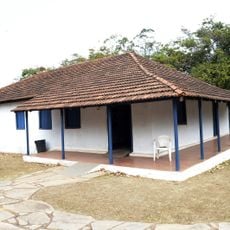
Santa Maria, Administrative region in Federal District, Brazil
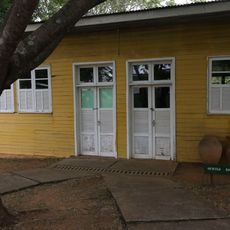
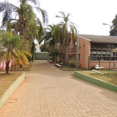
Santa Maria is an administrative region in the Federal District with residential neighborhoods and commercial areas surrounding Brasília. The area comprises multiple residential zones connected by main roads and local streets serving as a functioning suburb.
The region developed from urban planning efforts for Brasília in the early 1990s. It became an independent administrative division during the following years as the city expanded outward.
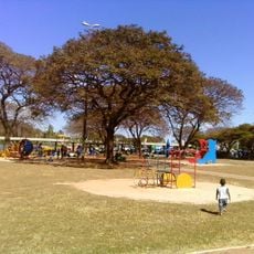
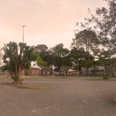
Residents gather at community spaces for local events and celebrations that bring neighbors together. The area functions as a genuine neighborhood where people spend time in parks and public squares with friends and family.
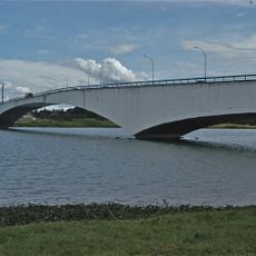
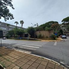
Access is available through main highways connecting the area to central Brasília. Public buses serve the region regularly, making it easy to travel within and beyond the area.
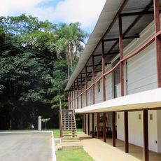
The area continues to expand with new housing developments that blend older neighborhoods with contemporary construction. This ongoing growth creates a mix of different residential styles and ages throughout the region.
Location: Federal District
Website: http://santamaria.df.gov.br
GPS coordinates: -16.01528,-48.01306
Latest update: December 7, 2025 10:04
Sarah Kubitschek City Park
26.4 km
Catetinho
8 km
Monumento Solarius
3.9 km
Igrejinha Nossa Senhora de Fátima
25.3 km
Serejão
21.2 km
Zoológico de Brasília
20.3 km
Jardim Botânico de Brasília
24.6 km
Caixa Cultural
27.3 km
Ponte Costa e Silva
25.8 km
Cine Brasília
25.5 km
Museu Vivo da Memória Candanga
18.2 km
Reservatório Elevado de Ceilândia
24.2 km
Igreja Ortodoxa Sao Jorge
25.2 km
Embassy of Germany, Brasília
25.5 km
Gardens by Burle Marx
25 km
Casa Niemeyer
12.3 km
Templo Budista de Brasília
22.7 km
Museu Casa Velha da Fazenda Gama
8.2 km
IBGE Ecological Reserve
16 km
Centro de Ensino Médio Escola Industrial de Taguatinga
20.9 km
Neighborhood unit 107/307 and 108/308 South
25.2 km
Cineflix JK Shopping Brasília
24.6 km
Igreja de Nossa Senhora do Rosário
26.8 km
Obra de Athos Bulcão
25.3 km
Centro de Ensino Fundamental Metropolitana
15.4 km
M Norte
25.5 km
Jardim de Infância 308 Sul
25.1 km
Relógio da Praça Central de Taguatinga
20.8 kmVisited this place? Tap the stars to rate it and share your experience / photos with the community! Try now! You can cancel it anytime.
Discover hidden gems everywhere you go!
From secret cafés to breathtaking viewpoints, skip the crowded tourist spots and find places that match your style. Our app makes it easy with voice search, smart filtering, route optimization, and insider tips from travelers worldwide. Download now for the complete mobile experience.
A unique approach to discovering new places❞
— Le Figaro
All the places worth exploring❞
— France Info
A tailor-made excursion in just a few clicks❞
— 20 Minutes