Enable Location

We need your location to show you interesting places around you

Discover nearby places

Find interesting locations and hidden gems around you

Precise directions

Get accurate directions and distances to places

Your location is never shared with other users. It's only used when you tap the location button.

Guapó

Log in to your account

Start exploring — it's free

Trusted by 61,993 travelers worldwide

Continue with Google
Continue with Apple
or

We will send you a code to connect

By continuing, you accept our Terms and Conditions and our Privacy Policy

Check your inbox

We've sent a pincode in your inbox. Please enter the code below.

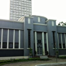
Guapó, Municipality in central Goiás, Brazil.

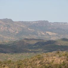
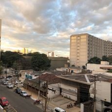
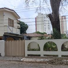
Guapó is a municipality in central Goiás covering about 517 square kilometers, located roughly 37 kilometers southwest of Goiânia along the BR-060 highway. The area is characterized by agricultural activity and rural structures, with bananas, rice, sugarcane, and corn serving as the primary crops.

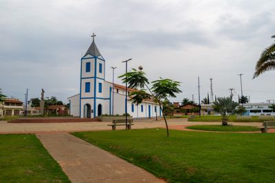
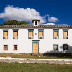
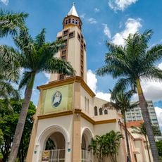
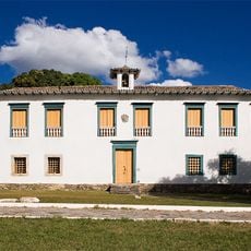
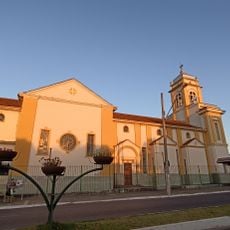
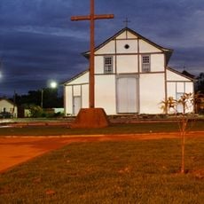
The settlement began in 1905 with the construction of a chapel originally called São Sebastião do Ribeirão. It became an independent municipality in 1935 after separating from Trindade.

The name Guapó comes from the Tupi language meaning 'root eater', a reference to the indigenous speech traditions of the region. This origin remains part of the local identity and connects the present-day community to its pre-colonial past.

The town has around ten schools serving over 3,600 students and forming the area's educational network. The rural location requires good planning when arriving, especially if traveling by public transport.

The local economy is shaped by significant cattle farming, with approximately 57,500 head of cattle in total and about 6,900 dairy cows in herds. This livestock operation contributes substantially to regional milk production and defines much of the area's economic landscape.

The community of curious travelers

AroundUs brings together thousands of curated places, local tips, and hidden gems, enriched daily by 60,000 contributors worldwide.

Start exploring
Location
Elevation above the sea
621 m
Shares border with
Abadia de Goiás, Aragoiânia, Campestre de Goiás, Cezarina, Palmeiras de Goiás, Trindade, Varjão
GPS coordinates
-16.83083,-49.53194
Latest update
December 7, 2025 20:46
« Guapó - Municipality in central Goiás, Brazil » is provided by Around Us (aroundus.com). Images and texts are derived from Wikimedia project under a Creative Commons license. You are allowed to copy, distribute, and modify copies of this page, under the conditions set by the license, as long as this note is clearly visible.

Discover hidden gems everywhere you go!

From secret cafés to breathtaking viewpoints, skip the crowded tourist spots and find places that match your style. Our app makes it easy with voice search, smart filtering, route optimization, and insider tips from travelers worldwide. Download now for the complete mobile experience.

Around Us App Screenshot

A unique approach to discovering new places

Le Figaro

All the places worth exploring

France Info

A tailor-made excursion in just a few clicks

20 Minutes

Around Us
Travel Guide & Maps
Download

Send to your phone

QR Code
1

Open the camera app on your mobile.

2

Point at the QR code with your camera. A notification will appear.

3

Tap the notification to open the link.