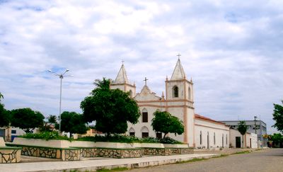
Carinhanha, Administrative division in Bahia, Brazil
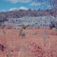
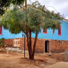
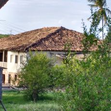
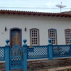
Carinhanha is an administrative division in Bahia that stretches along two river valleys in northeastern Brazil. The area includes urban and rural zones and is home to roughly 29,000 people who depend on municipal services.
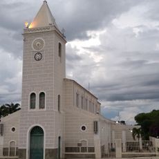
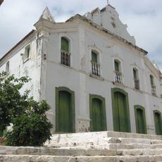
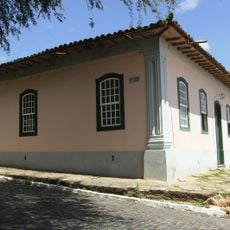
The administrative division was established in 1932, formalizing local governance in this region of Bahia. Since then, the area has developed as a center for managing both urban and rural communities.
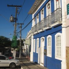
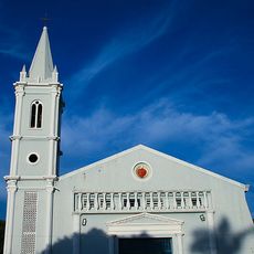
The community celebrates its roots through gatherings where regional music and traditional dances come alive. These occasions reveal the local way of life and bring people together.
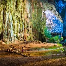
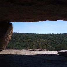
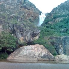
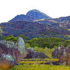
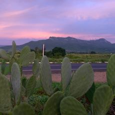
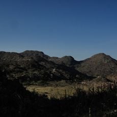
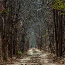
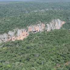
The location sits at an elevation of roughly 440 meters and is shaped by two rivers that influence daily life. Visitors should know that some areas are not easily accessible and require planning ahead.
One of the two defining rivers forms the natural border with a neighboring state, creating a geographically distinctive position. This situation makes the region a transition point between two different landscapes.
GPS coordinates: -14.29852,-43.77235
Latest update: December 7, 2025 20:22
Cavernas do Peruaçu National Park
109.3 km
Matriz de Nossa Senhora da Imaculada Conceição
64 km
Pedra da Santana
181.3 km
Casa Anísio Teixeira
141.3 km
Cachoeira Véu de Noiva
224.4 km
Pico das Almas
213 km
Serra Nova State Park
191.5 km
Caetité Cathedral
141.2 km
Cavernas do Peruaçu Environmental Protection Area
73.3 km
Gruta do Janelão
104.1 km
Arquivo Público Municipal de Caetité
141.4 km
Museu do Alto Sertão da Bahia
140.8 km
Caminho dos Gerais State Park
113.1 km
Área de Proteção Ambiental da Serra do Barbado
231.1 km
Cachoeira do Fraga
224 km
Igreja de São Benedito
141 km
Casa da Fazenda Santa Bárbara
150.1 km
Casa da Fazenda Brejo dos Padres (atual Fazenda Bom Jesus)
130.1 km
Hotel Caetité
141.3 km
Brito Gondim's House
141.4 km
Casa do Coronel Cazuzinha
141.3 km
Parque Municipal Natural da Serra das Almas
213.9 km
Lagoa do Cajueiro State Park
77.4 km
Casa da Praça Rodrigues Lima, nº 76
141.3 km
Cathedral of the Sacred Heart of Jesus, Janaúba
174.5 km
Rio Peruaçu canyon
102.8 km
Sítio Pedra Furada
227 km
Casa de Câmara e Cadeia
141.4 kmVisited this place? Tap the stars to rate it and share your experience / photos with the community! Try now! You can cancel it anytime.
Discover hidden gems everywhere you go!
From secret cafés to breathtaking viewpoints, skip the crowded tourist spots and find places that match your style. Our app makes it easy with voice search, smart filtering, route optimization, and insider tips from travelers worldwide. Download now for the complete mobile experience.
A unique approach to discovering new places❞
— Le Figaro
All the places worth exploring❞
— France Info
A tailor-made excursion in just a few clicks❞
— 20 Minutes