Caculé, Municipality in Bahia, Brazil
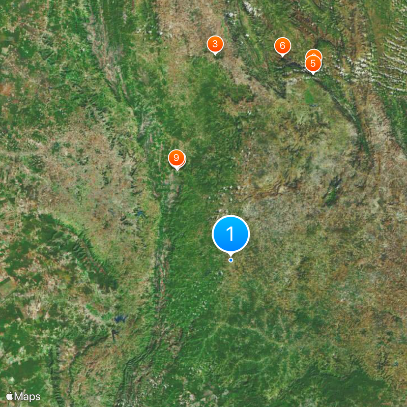
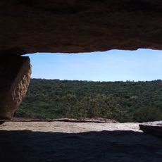
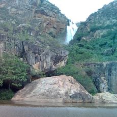
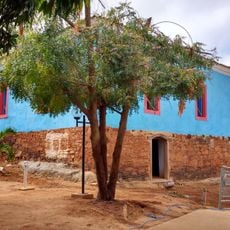
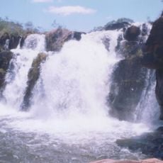
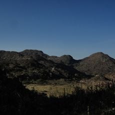
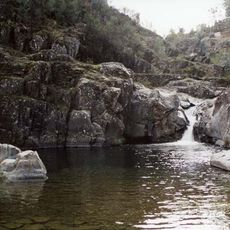
Caculé is a municipality in southwestern Bahia that spans a large area and sits near Serra das Ametistas. The Rio Antônio river flows through the region and waters the agricultural lands where mangoes, beans, and corn are grown.
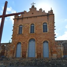
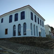
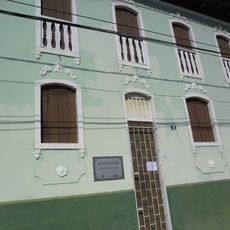
The municipality was founded in 1919 and grew from an agricultural settlement into a formal administrative area. This development marked an important step in the regional history of Bahia.
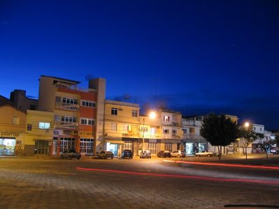
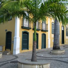
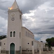
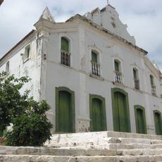
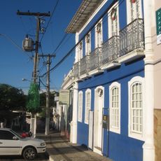
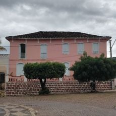
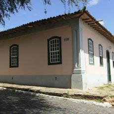
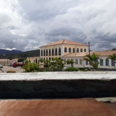
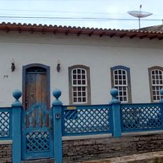
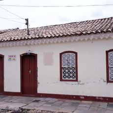
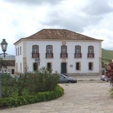
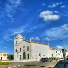
The residents, known as Caculenses, gather regularly at Praça do Mercado where local festivals and music performances shape community life. The town reflects traditions rooted in this inland region's way of living.
The town sits at a height of about 590 meters and is well connected by the Ferrovia Centro Atlântica railroad, which links important cities in the region. The best time to visit is during local festival periods when community life is most active.
The Ferrovia Centro Atlântica railroad connects Caculé to Montes Claros and Salvador, shaping the region's economy and daily life for generations. The rail line made it possible to move goods and people, deeply influencing how the town developed.
Location: Bahia
Elevation above the sea: 753 m
Shares border with: Ibiassucê, Caetité, Guajeru, Jacaraci, Licínio de Almeida, Pindaí, Rio do Antônio
Website: http://governodecacule.ba.gov.br
GPS coordinates: -14.50278,-42.22194
Latest update: December 20, 2025 15:39
Church of Our Lady of Santana
111.4 km
Pedra da Santana
109.8 km
Casa Anísio Teixeira
56 km
Cachoeira Véu de Noiva
108.2 km
Pico das Almas
112 km
Caetité Cathedral
56 km
Arquivo Público Municipal de Caetité
56 km
Museu do Alto Sertão da Bahia
56.9 km
Gruta do Padre
44.6 km
Caminho dos Gerais State Park
106.5 km
Cachoeira do Fraga
109.3 km
Igreja de São Benedito
56 km
Casa da Fazenda Santa Bárbara
54.7 km
Casa da Fazenda Brejo dos Padres (atual Fazenda Bom Jesus)
54.9 km
Hotel Caetité
56 km
Brito Gondim's House
55.8 km
Casa do Coronel Cazuzinha
56 km
Parque Municipal Natural da Serra das Almas
109.5 km
Conjunto Arquitetônico da Cidade de Rio de Contas
111.8 km
Casa da Praça Rodrigues Lima, nº 76
55.7 km
Casa Natal de Abílio César Borges, à rua Barão de Macaúbas, 19
111.9 km
Poço das Andorinhas
126.6 km
Cachoeira da Velha
128 km
Casa de Câmara e Cadeia, Rio de Contas
111.8 km
Parish Church of the Blessed Sacrament
111.7 km
Casa à Rua Barão de Macaúbas, N° 11
111.8 km
Casa de Câmara e Cadeia
56 km
Historical Archive Municipal Memory of Brumado
68.4 kmVisited this place? Tap the stars to rate it and share your experience / photos with the community! Try now! You can cancel it anytime.
Discover hidden gems everywhere you go!
From secret cafés to breathtaking viewpoints, skip the crowded tourist spots and find places that match your style. Our app makes it easy with voice search, smart filtering, route optimization, and insider tips from travelers worldwide. Download now for the complete mobile experience.
A unique approach to discovering new places❞
— Le Figaro
All the places worth exploring❞
— France Info
A tailor-made excursion in just a few clicks❞
— 20 Minutes