Serra Dourada, Municipality in Bahia, Brazil.
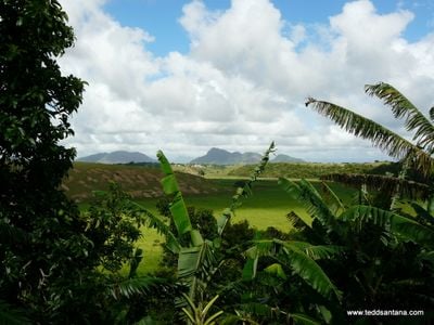
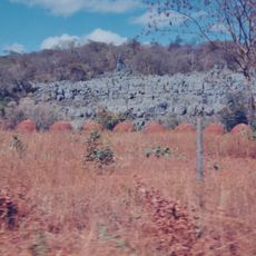
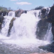
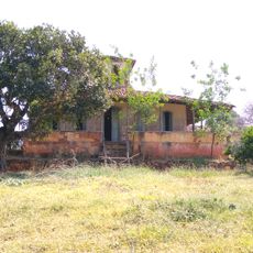
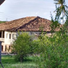
Serra Dourada is a municipality in Bahia located in northeastern Brazil's rolling countryside. The area extends across more than 1,500 square kilometers with scattered settlements and rural landscapes.
This municipality was officially established in 1962 as part of administrative reorganization in Bahia. The creation marked an important change in how the region's local governance was structured.
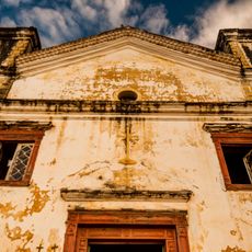
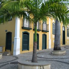
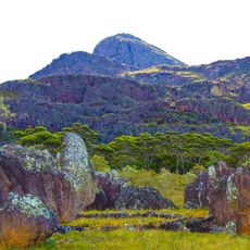
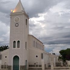
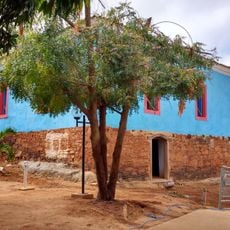
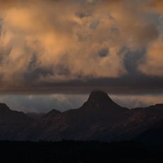
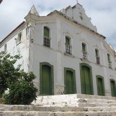
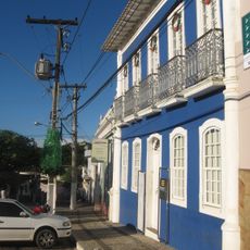
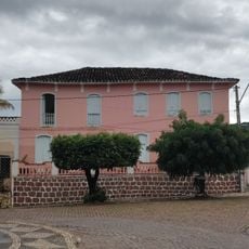
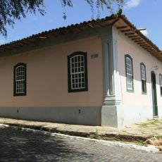
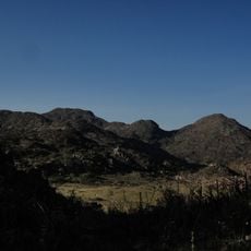
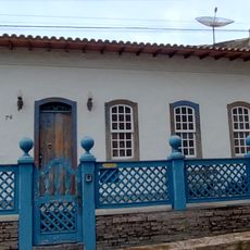
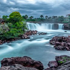
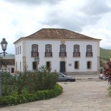
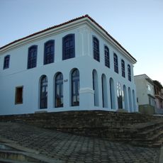
The name Serra Dourada refers to the golden mountains visible in the region and reflects the landscape travelers encounter. Local residents maintain traditions shaped by indigenous, Portuguese, and African influences that visitors can observe in daily life.
When exploring the area, take time to understand the rural layout since distances between settlements can be significant. Visitors should gather local information and plan routes in advance to navigate comfortably.
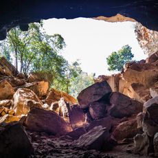
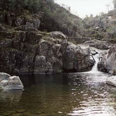
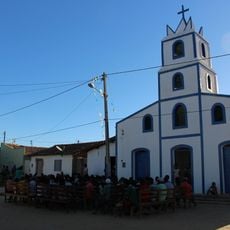
The region is less visited than other parts of Bahia, offering travelers direct insights into rural life in the Northeast. This lower tourist presence allows for authentic encounters with the local community.
Location: Bahia
Elevation above the sea: 482 m
Shares border with: Tabocas do Brejo Velho, Santana, Baianópolis, Brejolândia, Sítio do Mato
GPS coordinates: -12.76083,-43.95000
Latest update: December 10, 2025 15:54
Manuscript 512
211.2 km
Matriz de Nossa Senhora da Imaculada Conceição
233.1 km
Pedra da Santana
197.9 km
Casa Anísio Teixeira
215.4 km
Pico das Almas
231.1 km
Caetité Cathedral
215.3 km
Gruta da Torrinha
213.4 km
Cavernas do Peruaçu Environmental Protection Area
238.4 km
Arquivo Público Municipal de Caetité
215.4 km
Museu do Alto Sertão da Bahia
214.4 km
Área de Proteção Ambiental da Serra do Barbado
221.5 km
Cachoeira do Fraga
248.1 km
Igreja de São Benedito
215.2 km
Casa da Fazenda Santa Bárbara
220 km
Casa da Fazenda Brejo dos Padres (atual Fazenda Bom Jesus)
214.4 km
Hotel Caetité
215.3 km
Brito Gondim's House
215.6 km
Casa do Coronel Cazuzinha
215.4 km
Parque Municipal Natural da Serra das Almas
234.5 km
Conjunto Arquitetônico da Cidade de Rio de Contas
249 km
Casa da Praça Rodrigues Lima, nº 76
215.6 km
Cachoeira da Velha
240.8 km
Poço das Andorinhas
248.4 km
Casa de Câmara e Cadeia, Rio de Contas
248.9 km
Sítio Pedra Furada
120.3 km
Casa de Câmara e Cadeia
215.4 km
Quilombo Igarité
201.9 km
Cathedral of St John the Baptist in Barreiras
132.9 kmVisited this place? Tap the stars to rate it and share your experience / photos with the community! Try now! You can cancel it anytime.
Discover hidden gems everywhere you go!
From secret cafés to breathtaking viewpoints, skip the crowded tourist spots and find places that match your style. Our app makes it easy with voice search, smart filtering, route optimization, and insider tips from travelers worldwide. Download now for the complete mobile experience.
A unique approach to discovering new places❞
— Le Figaro
All the places worth exploring❞
— France Info
A tailor-made excursion in just a few clicks❞
— 20 Minutes