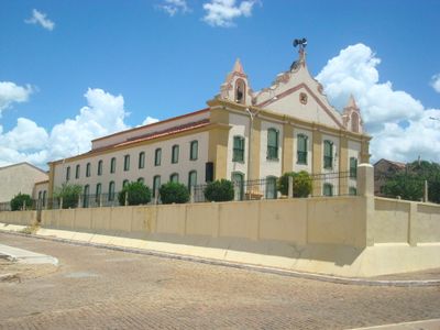
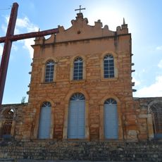
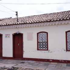
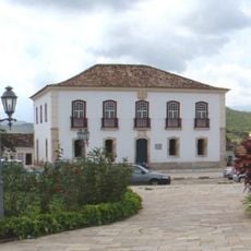
Riacho de Santana, Municipality in southwestern Bahia, Brazil
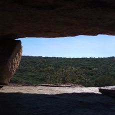
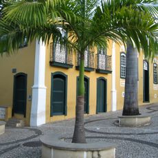
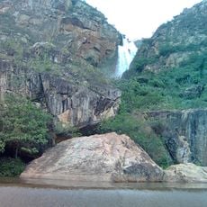
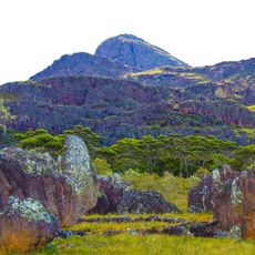
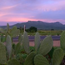
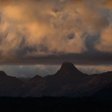
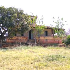
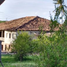
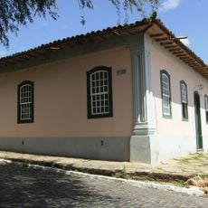
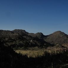
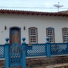
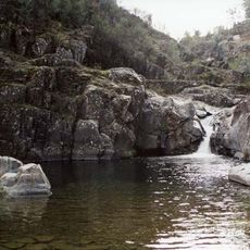
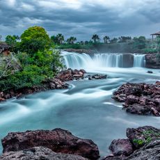
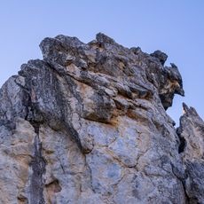
Riacho de Santana is a municipality in southwestern Bahia, located at an elevation of about 486 meters. The land spreads across rolling hills covered with tropical savanna, dotted with small rural villages and farmland.
The territory was originally home to the Canindé people who lived along the São Francisco River. It became an independent municipality in 1878 after separating from the nearby administrative region of Palmas de Monte Alto.
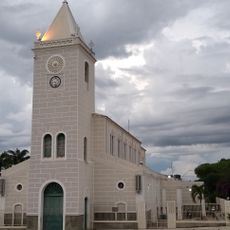
The name comes from a sacred spring dedicated to Saint Ann, a reference that echoes through local traditions today. The community blends indigenous, African, and Portuguese influences in how residents celebrate and mark important occasions throughout the year.
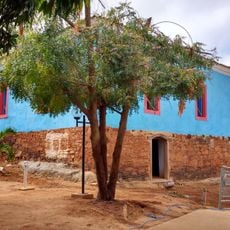
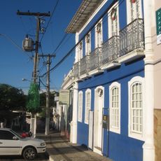
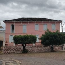
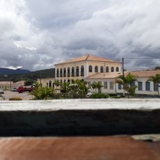
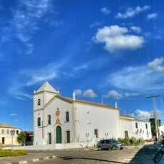
The region becomes cooler after sunset, especially during the months from April through August. Most services and shops are found in the town center, while the surrounding villages are mainly focused on farming and rural life.
In the 1970s, the local economy shifted dramatically when cotton farming collapsed due to crop-destroying pests. The region then turned to charcoal production, which remains an important source of income to this day.
Location: Bahia
Elevation above the sea: 486 m
Shares border with: Bom Jesus da Lapa, Igaporã, Macaúbas, Malhada, Matina, Palmas de Monte Alto
GPS coordinates: -13.60889,-42.93889
Latest update: December 7, 2025 19:29
Church of Our Lady of Santana
121.8 km
Pedra da Santana
70 km
Casa Anísio Teixeira
71 km
Cachoeira Véu de Noiva
121.2 km
Pico das Almas
105.4 km
Caetité Cathedral
70.9 km
Arquivo Público Municipal de Caetité
71 km
Museu do Alto Sertão da Bahia
70 km
Caminho dos Gerais State Park
158.8 km
Área de Proteção Ambiental da Serra do Barbado
115.5 km
Cachoeira do Fraga
120.1 km
Igreja de São Benedito
70.8 km
Casa da Fazenda Santa Bárbara
75.3 km
Casa da Fazenda Brejo dos Padres (atual Fazenda Bom Jesus)
71.7 km
Hotel Caetité
70.9 km
Brito Gondim's House
71.2 km
Casa do Coronel Cazuzinha
71 km
Parque Municipal Natural da Serra das Almas
107.5 km
Conjunto Arquitetônico da Cidade de Rio de Contas
121.9 km
Casa da Praça Rodrigues Lima, nº 76
71.2 km
Casa Natal de Abílio César Borges, à rua Barão de Macaúbas, 19
122 km
Poço das Andorinhas
127.5 km
Cachoeira da Velha
121.5 km
Casa de Câmara e Cadeia, Rio de Contas
121.8 km
Sítio Pedra Furada
129.3 km
Parish Church of the Blessed Sacrament
122 km
Casa à Rua Barão de Macaúbas, N° 11
121.9 km
Casa de Câmara e Cadeia
71 kmVisited this place? Tap the stars to rate it and share your experience / photos with the community! Try now! You can cancel it anytime.
Discover hidden gems everywhere you go!
From secret cafés to breathtaking viewpoints, skip the crowded tourist spots and find places that match your style. Our app makes it easy with voice search, smart filtering, route optimization, and insider tips from travelers worldwide. Download now for the complete mobile experience.
A unique approach to discovering new places❞
— Le Figaro
All the places worth exploring❞
— France Info
A tailor-made excursion in just a few clicks❞
— 20 Minutes