Enable Location

We need your location to show you interesting places around you

Discover nearby places

Find interesting locations and hidden gems around you

Precise directions

Get accurate directions and distances to places

Your location is never shared with other users. It's only used when you tap the location button.

Paratinga

Log in to your account

Start exploring — it's free

Trusted by 61,994 travelers worldwide

Continue with Google
Continue with Apple
or

We will send you a code to connect

By continuing, you accept our Terms and Conditions and our Privacy Policy

Check your inbox

We've sent a pincode in your inbox. Please enter the code below.

Paratinga, Municipality in Bahia, Brazil.

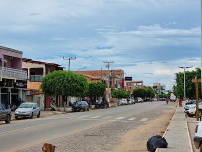
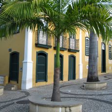
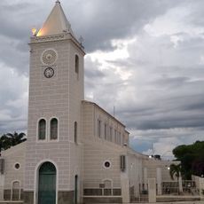
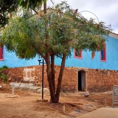
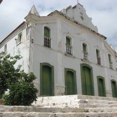
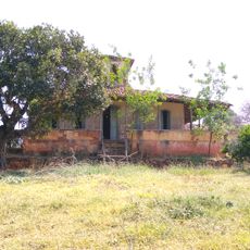
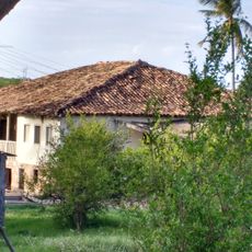
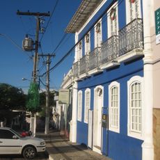
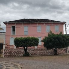
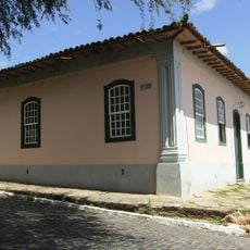
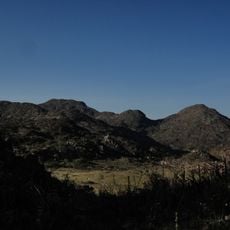
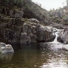
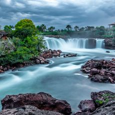
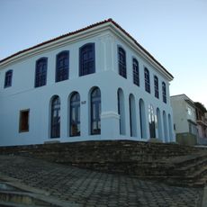
Paratinga is a municipality in northeastern Brazil located in Bahia, situated on the right bank of the São Francisco River. The area has a sparsely settled structure with gently rolling terrain.

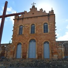
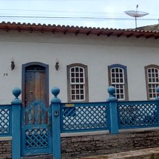
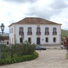
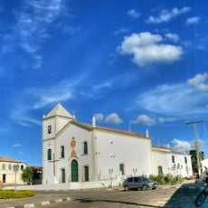
The settlement began in 1710 as a cattle ranch owned by a Portuguese nobleman and later became a stopping point for travelers. The area went through two name changes before receiving its current name in 1943.

The name comes from the Tupi language, where 'para' means river and 'ting' means white, reflecting the region's indigenous roots. This linguistic connection remains part of the local identity today.

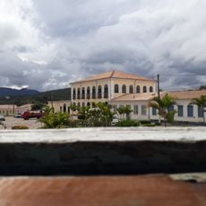
Being sparsely populated, services and amenities are spread out across the area, so it helps to plan ahead and ask locals where to find what you need. Getting around requires patience and local knowledge to locate available facilities.

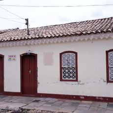
The place was originally called Urubu and later became known as Rio Branco before taking on its current name. These earlier names reflect different phases in how the settlement developed and was understood.

The community of curious travelers

AroundUs brings together thousands of curated places, local tips, and hidden gems, enriched daily by 60,000 contributors worldwide.

Start exploring
Location
Elevation above the sea
518 m
Shares border with
Bom Jesus da Lapa, Macaúbas, Boquira, Ibotirama, Muquém do São Francisco, Oliveira dos Brejinhos, Sítio do Mato
GPS coordinates
-12.69083,-43.18389
Latest update
December 7, 2025 19:22
« Paratinga - Municipality in Bahia, Brazil » is provided by Around Us (aroundus.com). Images and texts are derived from Wikimedia project under a Creative Commons license. You are allowed to copy, distribute, and modify copies of this page, under the conditions set by the license, as long as this note is clearly visible.

Discover hidden gems everywhere you go!

From secret cafés to breathtaking viewpoints, skip the crowded tourist spots and find places that match your style. Our app makes it easy with voice search, smart filtering, route optimization, and insider tips from travelers worldwide. Download now for the complete mobile experience.

Around Us App Screenshot

A unique approach to discovering new places

Le Figaro

All the places worth exploring

France Info

A tailor-made excursion in just a few clicks

20 Minutes

Around Us
Travel Guide & Maps
Download

Send to your phone

QR Code
1

Open the camera app on your mobile.

2

Point at the QR code with your camera. A notification will appear.

3

Tap the notification to open the link.