Boquira, Municipality in Bahia, Brazil
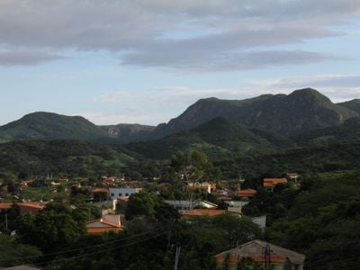
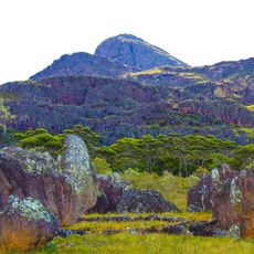
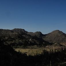
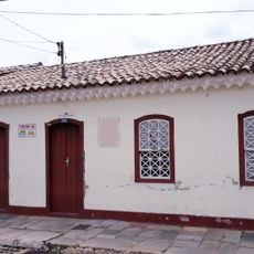
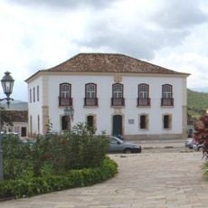
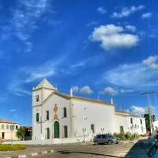
Boquira is a municipality in Bahia in northeastern Brazil, located at about 520 meters elevation. The area spreads across gentle rolling land with a mix of farms, small villages, and open fields.
The place began with farmers settling here to work the land and build their lives. Over time, the population grew and it became an established community in the region.
The people of Boquira live mainly from farming and shape daily life through traditional growing methods. You see fields and farms everywhere, showing how much the region depends on agriculture and raising animals.
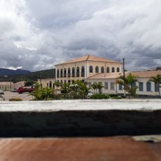
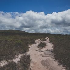
Visitors should know this is a rural area where infrastructure is basic and there are few tourist facilities. The best time to explore is during the dry season when roads are easier to travel.
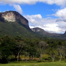
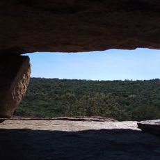
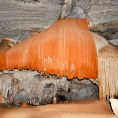
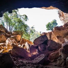
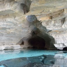
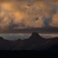
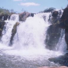
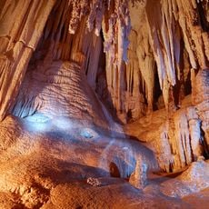
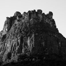
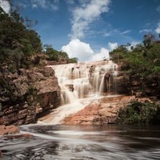
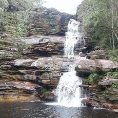
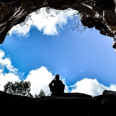
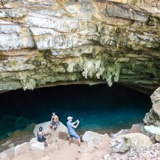
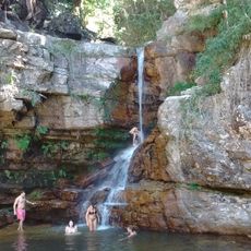
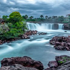
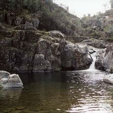
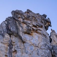
The place sits in an area with special geological features marked by deep valleys and hills. These landforms make the region interesting for nature walkers since they offer unexpected views and different habitats.
Location: Bahia
Elevation above the sea: 520 m
Shares border with: Macaúbas, Ibipitanga, Ibitiara, Oliveira dos Brejinhos, Paratinga
Website: http://boquira.ba.gov.br
GPS coordinates: -12.82278,-42.73083
Latest update: December 8, 2025 13:42
Vale do Capão
136.2 km
Church of Our Lady of Santana
130.6 km
Pedra da Santana
90.5 km
Lapa Doce
137.2 km
Pico das Almas
113.9 km
Gruta da Torrinha
84.4 km
Gruta da Pratinha
139.5 km
Área de Proteção Ambiental da Serra do Barbado
93.7 km
Cachoeira do Fraga
130.4 km
Gruta da Fumaça
134.8 km
Morro do Castelo
139.2 km
Cachoeira do Riachinho
135 km
Cachoeira do Calixto
139.1 km
Parque Municipal Natural da Serra das Almas
117.8 km
Conjunto Arquitetônico da Cidade de Rio de Contas
130.4 km
Gruta do Castelo
139.2 km
Gruta Azul (Iraquara)
140.1 km
Cachoeira da Purificação
135.9 km
Parque Natural Municipal do Boqueirão
137.7 km
Parque Natural Municipal do Riachinho
134.6 km
Casa Natal de Abílio César Borges, à rua Barão de Macaúbas, 19
130.4 km
Cachoeira da Velha
117.6 km
Poço das Andorinhas
125.4 km
Monumento Natural Municipal da Carrapeta
136.7 km
Casa de Câmara e Cadeia, Rio de Contas
130.4 km
Sítio Pedra Furada
45.1 km
Parish Church of the Blessed Sacrament
130.5 km
Casa à Rua Barão de Macaúbas, N° 11
130.4 kmVisited this place? Tap the stars to rate it and share your experience / photos with the community! Try now! You can cancel it anytime.
Discover hidden gems everywhere you go!
From secret cafés to breathtaking viewpoints, skip the crowded tourist spots and find places that match your style. Our app makes it easy with voice search, smart filtering, route optimization, and insider tips from travelers worldwide. Download now for the complete mobile experience.
A unique approach to discovering new places❞
— Le Figaro
All the places worth exploring❞
— France Info
A tailor-made excursion in just a few clicks❞
— 20 Minutes