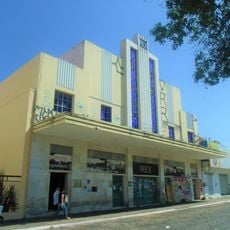
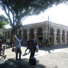
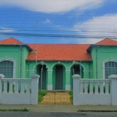
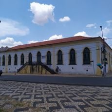
São Domingos do Maranhão, Administrative municipality in Centro Maranhense, Brazil.
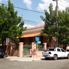
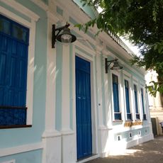
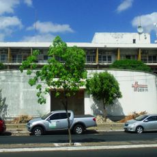
São Domingos do Maranhão is an administrative municipality in central Maranhão featuring farmland and residential areas spread across a large territory. The landscape is defined by open fields and scattered settlements where people and farming exist side by side.
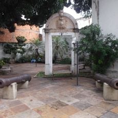
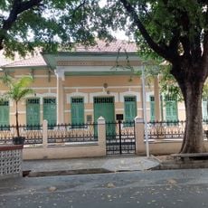
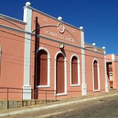
The area began as a Jesuit settlement in the 18th century and later developed into today's municipality with defined boundaries. This transformation reflects the gradual shift from mission post to organized administrative unit.
The area is deeply rooted in farming, with small fields and traditional growing methods visible throughout that families have passed down over many generations.
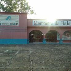
The location is rural in character, so services are spread across different areas and visitors should expect longer travel times between places. It helps to have a vehicle and explore during daytime hours when facilities are operating.
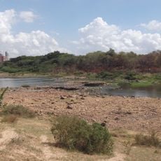
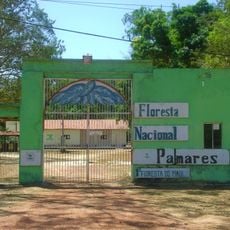
The area forms part of a region known for its special mix of vegetation between savanna and forest, attracting rare plant species that remain hidden from most visitors. This natural diversity shapes daily life and farming practices in ways people often overlook.
GPS coordinates: -5.57997,-44.38416
Latest update: December 10, 2025 15:53
Albertão
183.8 km
Ponte Estaiada João Isidoro França
184 km
Palácio Karnak
182.6 km
Parque Zoobotânico de Teresina
188.2 km
Puente Metálico João Luis Ferreira
181.4 km
Museu do Piauí
182 km
Memorial da Balaiada
138.4 km
Floresta Fóssil de Teresina
185.1 km
Parque Potycabana
184.6 km
Cine Rex
182.4 km
Catedral Metropolitana Nossa Senhora das Dores
182 km
Mercado Central São José
181.9 km
Biblioteca Estadual do Piauí
182.9 km
Casa do Barão de Gurguéia
182.2 km
Palmares National Forest
206.8 km
Casa da Dona Carlotinha
182.5 km
Quatro de Setembro Theater
182.4 km
St. Therese Cathedral, Bacabal
156.6 km
Cinemas Teresina
184.9 km
Antiga Intendência de Teresina
182 km
Grupo Escolar Mathias Olympio
183.7 km
Igreja Nossa Senhora de Lourdes
182.3 km
Clube dos Diários
182.4 km
Edifício Chagas Rodrigues –DER
183.6 km
Cinépolis Rio Poty
183.9 km
Usina Maria Bonita
200.2 km
Escola Normal Antonino Freire
182 km
Grupo Escolar Gabriel Ferreira
182.4 kmVisited this place? Tap the stars to rate it and share your experience / photos with the community! Try now! You can cancel it anytime.
Discover hidden gems everywhere you go!
From secret cafés to breathtaking viewpoints, skip the crowded tourist spots and find places that match your style. Our app makes it easy with voice search, smart filtering, route optimization, and insider tips from travelers worldwide. Download now for the complete mobile experience.
A unique approach to discovering new places❞
— Le Figaro
All the places worth exploring❞
— France Info
A tailor-made excursion in just a few clicks❞
— 20 Minutes