
Porto de Pedras, municipality of Brazil
Location: Alagoas
Elevation above the sea: 27 m
Shares border with: Matriz de Camaragibe, São Miguel dos Milagres, Japaratinga, Porto Calvo, Passo de Camaragibe
GPS coordinates: -9.15778,-35.29500
Latest update: March 4, 2025 21:25
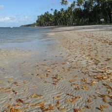
Praia dos Carneiros
56.1 km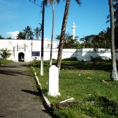
Forte de Santo Inácio de Tamandaré
49.5 km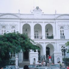
Museu Palácio Floriano Peixoto
74.2 km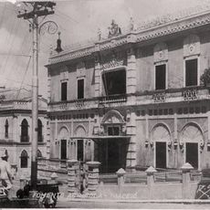
Museu de Arte Pierre Chalita
74.1 km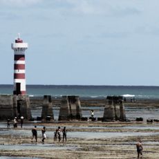
Ponta Verde Lighthouse
71.4 km
Instituto Histórico e Geográfico de Alagoas
74.4 km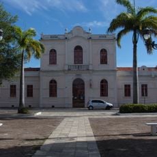
Museum of Sound and Image of Alagoas
74.1 km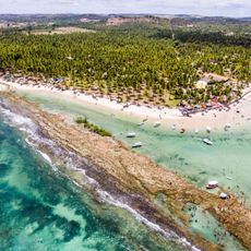
Costa dos Corais Environmental Protection Area
13.4 km
Saltinho Biological Reserve
49.7 km
Farol de Maceió
73 km
Centro Cultural Arte Pajuçara
72.8 km
Sociedade Nossa Senhora do Bom Conselho
72.5 km
Centerplex Pátio Maceió
66.8 km
Bairro de Jaraguá
74.1 km
Kinoplex Maceió
71.5 km
Lumière Shopping Farol
71.6 km
Church of Our Lady of the Rosary
74.3 km
Igreja Bom Jesus dos Martírios
74.2 km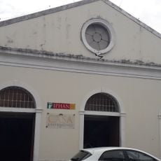
Heritage House - IPHAN Alagoas
74.2 km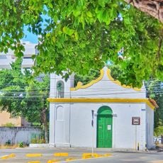
Capela de São Gonçalo de Amarante
74 km
Quilombo Muquém
75.3 km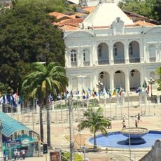
Government of Alagoas
74.5 km
Cinesystem Maceió
68.7 km
Forte de Tamandaré Municipal Nature Park
49.5 km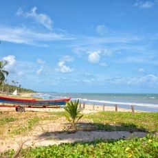
Praia do Camacho
17.6 km
Pierre Chalita Foundation (Jaraguá)
74.1 km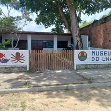
Museu do Una
33.7 km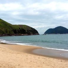
Praia do toque
12.8 kmReviews
Visited this place? Tap the stars to rate it and share your experience / photos with the community! Try now! You can cancel it anytime.
Discover hidden gems everywhere you go!
From secret cafés to breathtaking viewpoints, skip the crowded tourist spots and find places that match your style. Our app makes it easy with voice search, smart filtering, route optimization, and insider tips from travelers worldwide. Download now for the complete mobile experience.

A unique approach to discovering new places❞
— Le Figaro
All the places worth exploring❞
— France Info
A tailor-made excursion in just a few clicks❞
— 20 Minutes