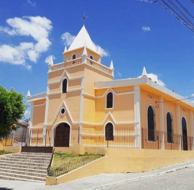
Catende, Municipality in Zona da Mata, Pernambuco, Brazil
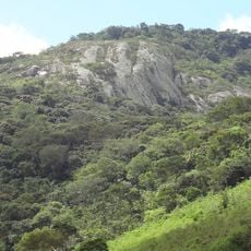
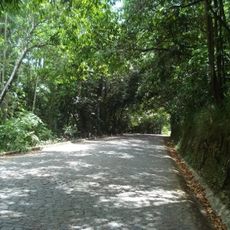
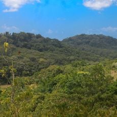
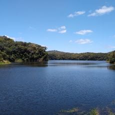
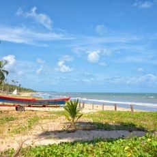
Catende is a municipality in Zona da Mata, Pernambuco, situated in a rural landscape surrounded by neighboring towns and bordered by the Una River. The terrain supports both agricultural land and forest vegetation that interweave throughout the region.
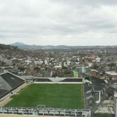
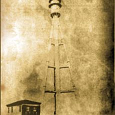
This place developed around one of Brazil's largest sugar mills, which shaped the region's economic life during the 20th century. The mill remained central to local society and commerce for decades.
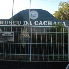
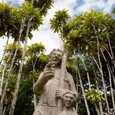
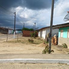
Residents maintain traditions deeply rooted in sugarcane farming, celebrating festivals that mark the rhythm of harvest and religious holidays. These practices shape daily life and create a strong connection to the agricultural past.
The municipality connects through regional highways that link to larger cities, with Recife accessible within reasonable distance. The landscape has a rural character with changing seasons, and you will need your own transportation to explore different areas.
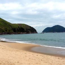
The Una River flows through the area and supports not only farming but also helps maintain a distinct type of forest vegetation. Observing this river gives insight into how water, forests, and agriculture are naturally connected.
Location: Pernambuco
Elevation above the sea: 234 m
Shares border with: Bonito, Belém de Maria, Jaqueira, Lagoa dos Gatos, Maraial, Palmares, Xexéu
Website: http://catende.pe.gov.br
GPS coordinates: -8.66694,-35.71694
Latest update: December 7, 2025 20:41
Porto de Galinhas beach
80.8 km
Praia dos Carneiros
69.2 km
Feira de Caruaru
50.5 km
Praia de Maracaípe
79.4 km
Praia de Calhetas
92.3 km
Gaibu beach
91.7 km
Forte de Santo Inácio de Tamandaré
68.7 km
Fort Pontael
91.6 km
Estadio Antônio Inácio de Souza
51 km
Museu Casa Maria Mariá
65.2 km
Pedra Talhada Biological Reserve
100.2 km
Lacerdão
51.6 km
Costa dos Corais Environmental Protection Area
85 km
Estádio Otávio Limeira Alves
95.7 km
Museu da Cachaça
99.5 km
Saltinho Biological Reserve
59.6 km
Parque Memorial Quilombo dos Palmares
69.3 km
Bita e Utinga Ecological Station
79 km
Phare de Santo Agostinho
91.7 km
Centerplex Pátio Maceió
99.3 km
Quilombo Muquém
62.6 km
Cinesystem Maceió
106.9 km
Forte de Tamandaré Municipal Nature Park
68.6 km
Professor João Vasconcelos Sobrinho Municipal Nature Park
48.8 km
Praia do Camacho
67.1 km
Museu do Una
66.9 km
Praia do toque
76.7 kmVisited this place? Tap the stars to rate it and share your experience / photos with the community! Try now! You can cancel it anytime.
Discover hidden gems everywhere you go!
From secret cafés to breathtaking viewpoints, skip the crowded tourist spots and find places that match your style. Our app makes it easy with voice search, smart filtering, route optimization, and insider tips from travelers worldwide. Download now for the complete mobile experience.
A unique approach to discovering new places❞
— Le Figaro
All the places worth exploring❞
— France Info
A tailor-made excursion in just a few clicks❞
— 20 Minutes