União, Administrative district in Piauí, Brazil
União is a municipality in the center-north region of Piauí state, covering approximately 1,173 square kilometers. The town is home to over 46,000 residents and sits adjacent to several neighboring municipalities.
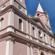
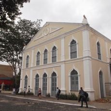
The settlement began in the 1800s as Estanhado, linked to tin mining activities in the area. It was renamed União in 1853 when the Parish of Nossa Senhora dos Remédios was established, marking a shift in the community's character.
The town maintains connections to cowboy traditions through local celebrations and music performances that reflect the region's ranching heritage. These customs show how livestock raising shaped the identity of the community.
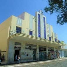
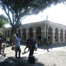
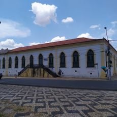
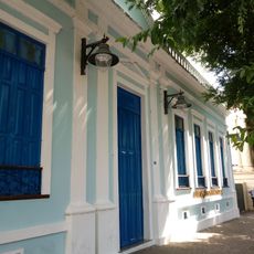
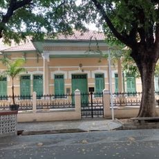
The town is straightforward to navigate, with the administration center at Praça Barão de Gurgueia providing services for residents and visitors alike. Most local facilities are concentrated in the central area, making orientation easy.
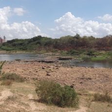
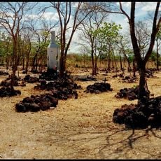
The landscape is shaped by isolated hills such as Morro do Urubu and Morro do Apache Clube that rise distinctly from the surrounding plains. These geological features add character to the region and offer viewpoints across the territory.
GPS coordinates: -4.58926,-42.85933
Latest update: December 7, 2025 20:25
Albertão
59.1 km
Ponte Estaiada João Isidoro França
53.9 km
Palácio Karnak
56.1 km
Parque Zoobotânico de Teresina
51.1 km
Puente Metálico João Luis Ferreira
55.5 km
Museu do Piauí
55.9 km
Memorial da Balaiada
63.7 km
Floresta Fóssil de Teresina
56 km
Parque Potycabana
55.6 km
Cine Rex
56.1 km
Catedral Metropolitana Nossa Senhora das Dores
56.6 km
Mercado Central São José
55.9 km
Biblioteca Estadual do Piauí
55.8 km
Estádio Municipal Felipe Raulino
67.8 km
Casa do Barão de Gurguéia
56.5 km
Palmares National Forest
59 km
Casa da Dona Carlotinha
55.8 km
Quatro de Setembro Theater
56.1 km
Batalhão Cemetery
85 km
Cinemas Teresina
55.7 km
Antiga Intendência de Teresina
56.1 km
Grupo Escolar Mathias Olympio
54.6 km
Igreja Nossa Senhora de Lourdes
57.7 km
Clube dos Diários
56 km
Edifício Chagas Rodrigues –DER
55.8 km
Grupo Escolar Gabriel Ferreira
57.6 km
Escola Normal Antonino Freire
55.9 km
Cinépolis Rio Poty
54.7 kmVisited this place? Tap the stars to rate it and share your experience / photos with the community! Try now! You can cancel it anytime.
Discover hidden gems everywhere you go!
From secret cafés to breathtaking viewpoints, skip the crowded tourist spots and find places that match your style. Our app makes it easy with voice search, smart filtering, route optimization, and insider tips from travelers worldwide. Download now for the complete mobile experience.
A unique approach to discovering new places❞
— Le Figaro
All the places worth exploring❞
— France Info
A tailor-made excursion in just a few clicks❞
— 20 Minutes