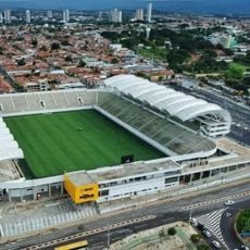
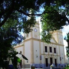
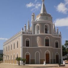
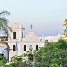
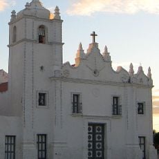
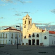
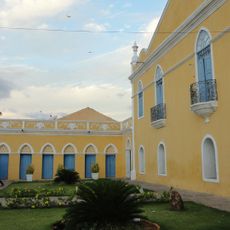
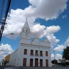
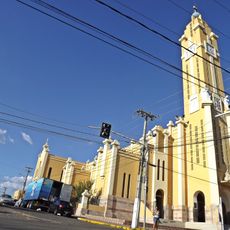
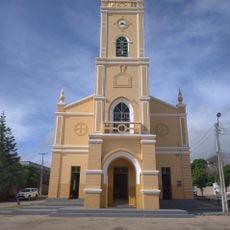
Cedro, Administrative region in Pernambuco, Brazil.
Cedro is an administrative region in Pernambuco state that covers roughly 149 square kilometers of land. The area shares borders with Ceará state and neighboring municipalities of Serrita and Salgueiro.
Cedro emerged as an administrative region through Brazil's territorial reorganization efforts that began in the 1940s. This restructuring of administrative boundaries helped establish the region's modern governance structure.
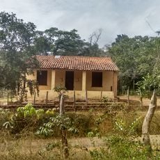
The region has deep roots in farming, with people raising cattle, goats, sheep, and pigs on their land. Tomatoes and beans are important crops that shape daily life and local traditions.
The region is situated about 561 kilometers from the coast and has a hospital available for local medical needs. Visitors should know that roads are limited and reaching the area requires advance planning.
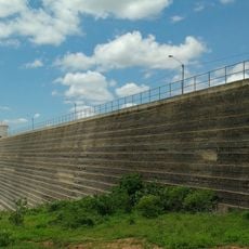
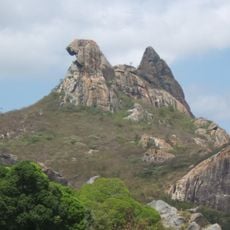
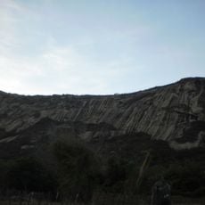
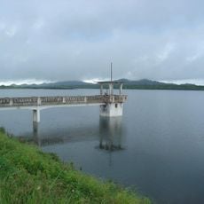
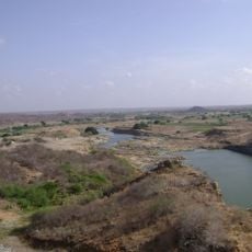
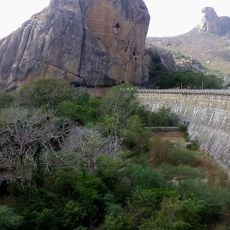
The Terra Nova River flows through the region, creating a green corridor across the dry landscape. The local Caatinga vegetation is a unique dry ecosystem adapted to the hot, semi-arid climate.
The community of curious travelers
AroundUs brings together thousands of curated places, local tips, and hidden gems, enriched daily by 60,000 contributors worldwide.