Enable Location

We need your location to show you interesting places around you

Discover nearby places

Find interesting locations and hidden gems around you

Precise directions

Get accurate directions and distances to places

Your location is never shared with other users. It's only used when you tap the location button.

Várzea Alegre

Log in to your account

Start exploring — it's free

Trusted by 62,031 travelers worldwide

Continue with Google
Continue with Apple
or

We will send you a code to connect

By continuing, you accept our Terms and Conditions and our Privacy Policy

Check your inbox

We've sent a pincode in your inbox. Please enter the code below.

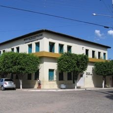
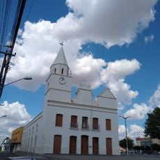
Várzea Alegre, Municipal center in Ceará, Brazil

Várzea Alegre is a municipality in Ceará in northeastern Brazil with a rural character and several districts spread across the region. The area combines agricultural land with smaller populated centers that form the main community.

The municipality gained independence from Lavras da Mangabeira in 1872 through a legal establishment process initiated in 1870. This separation marked its emergence as an autonomous administrative entity.

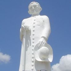
The municipality celebrates multiple annual festivals throughout the year, including Carnival, Holy Week ceremonies, and religious observances for Saint Raimundo Nonato in August. These events shape community life and bring residents together regularly.

The best time to visit depends on your interests: local festivals in Carnival season and Easter offer special opportunities to experience community traditions. Plan your visit around these events or during quieter periods depending on your preferences.

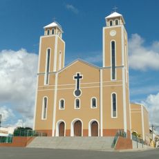
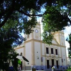
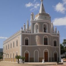
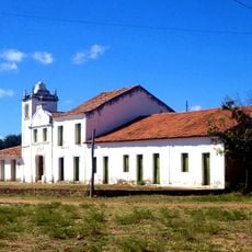
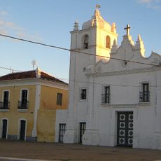
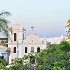
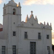
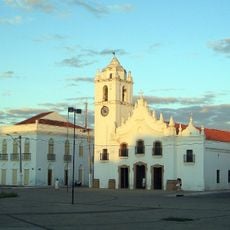
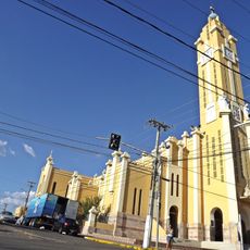
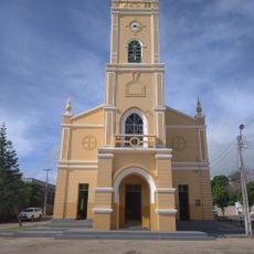
The Capela de São Caetano, built in the 18th century, is a recognized architectural monument that shows the region's colonial religious heritage. This building preserves construction details and design elements from an earlier period of settlement.

The community of curious travelers

AroundUs brings together thousands of curated places, local tips, and hidden gems, enriched daily by 60,000 contributors worldwide.

Start exploring
Location
Elevation above the sea
461 m
Shares border with
Caririaçú, Cariús, Cedro, Farias Brito, Granjeiro, Lavras da Mangabeira
GPS coordinates
-6.78889,-39.29583
Latest update
December 7, 2025 19:31
« Várzea Alegre - Municipal center in Ceará, Brazil » is provided by Around Us (aroundus.com). Images and texts are derived from Wikimedia project under a Creative Commons license. You are allowed to copy, distribute, and modify copies of this page, under the conditions set by the license, as long as this note is clearly visible.

Discover hidden gems everywhere you go!

From secret cafés to breathtaking viewpoints, skip the crowded tourist spots and find places that match your style. Our app makes it easy with voice search, smart filtering, route optimization, and insider tips from travelers worldwide. Download now for the complete mobile experience.

Around Us App Screenshot

A unique approach to discovering new places

Le Figaro

All the places worth exploring

France Info

A tailor-made excursion in just a few clicks

20 Minutes

Around Us
Travel Guide & Maps
Download

Send to your phone

QR Code
1

Open the camera app on your mobile.

2

Point at the QR code with your camera. A notification will appear.

3

Tap the notification to open the link.