
Itatira, Brazilian municipality in the state of Ceará
Location: Ceará
Elevation above the sea: 458 m
Shares border with: Boa Viagem, Canindé, Madalena, Santa Quitéria
Website: http://itatira.ce.gov.br
GPS coordinates: -4.60717,-39.65405
Latest update: March 16, 2025 01:43

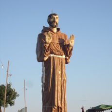
Estatua de San Francisco de Asís
47 km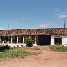
Museu Senzala Negro Liberto
111.8 km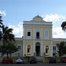
Santa Casa de Misericórdia de Sobral
128.4 km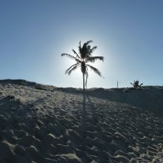
Icaraí beach
149 km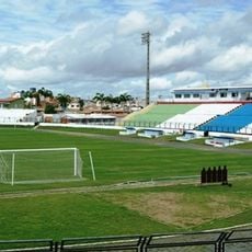
Estádio do Junco
130.3 km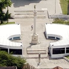
Museu do Eclipse
128.5 km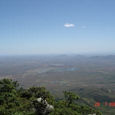
Pico da Rajada
130.3 km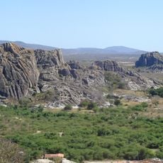
Quixadá Monoliths Natural Monument
82.5 km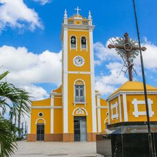
Igreja Matriz Nossa Senhora dos Prazeres
147.5 km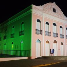
Teatro São João (Sobral)
128 km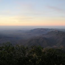
Pico Alto
87.5 km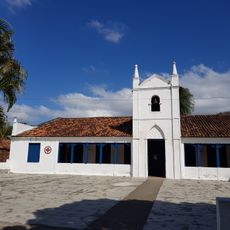
Museu da Cachaça
132.5 km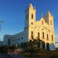
Sobral Cathedral
127.7 km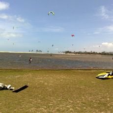
Lagoa do Cauípe
149.2 km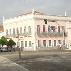
Museu Dom José
128.1 km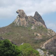
Pedra da Galinha Choca
77.2 km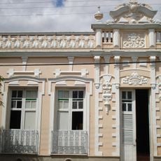
Museu Histórico Jacinto de Sousa
81.3 km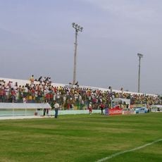
Stade Francisco Clenilson dos Santos
142 km
Solar dos Sampaios
103.3 km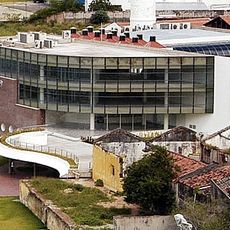
Biblioteca Municipal Lustosa da Costa
127.7 km
Pinacoteca de Sobral
128.4 km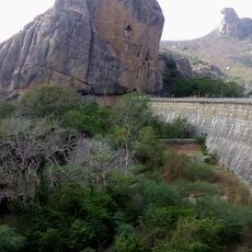
Cedro's Dam
77.4 km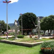
Iracema e o Guerreiro Branco Martim
121.2 km
Parque Estrela
140.2 km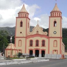
Igreja Matriz de Baturité
91 km
Igreja Nossa Senhora do Desterro
121.5 km
Cathedral of Our Lady of Mercy, Itapipoca
123.4 km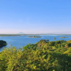
Açude Forquilha
111.4 kmReviews
Visited this place? Tap the stars to rate it and share your experience / photos with the community! Try now! You can cancel it anytime.
Discover hidden gems everywhere you go!
From secret cafés to breathtaking viewpoints, skip the crowded tourist spots and find places that match your style. Our app makes it easy with voice search, smart filtering, route optimization, and insider tips from travelers worldwide. Download now for the complete mobile experience.

A unique approach to discovering new places❞
— Le Figaro
All the places worth exploring❞
— France Info
A tailor-made excursion in just a few clicks❞
— 20 Minutes