
Bodó, municipality of Brazil
Location: Rio Grande do Norte
Elevation above the sea: 430 m
Shares border with: Santana do Matos, Cerro Corá, Lagoa Nova
GPS coordinates: -5.98778,-36.41278
Latest update: March 20, 2025 11:03
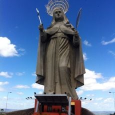
Saint Rita of Cascia statue
51.7 km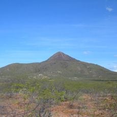
Pico do Cabugi
33 km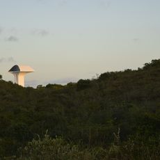
Parque da Cidade Dom Nivaldo Monte
131.7 km
Pedra da Boca State Park
96.8 km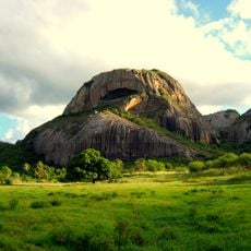
Pedra da Boca
96.9 km
Memorial da Resistência Mossoroense
136.4 km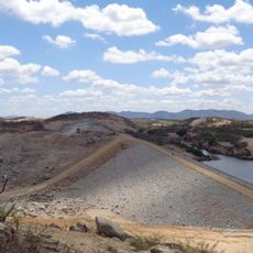
Oiticica Dam
80.7 km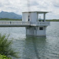
Açude Itans
90.3 km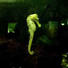
Aquário Natal
133.8 km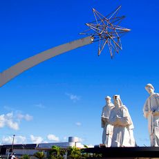
Pórtico dos Reis Magos
133.1 km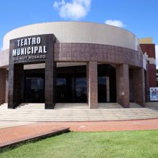
Teatro Municipal Dix-Huit Rosado
136.2 km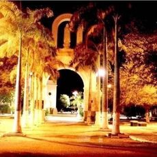
St. Ann Cathedral, Caicó
91.7 km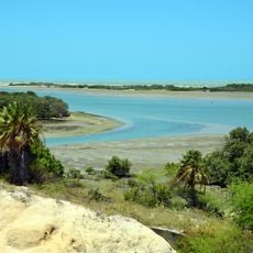
Reserva de Desenvolvimento Sustentável Estadual Ponta do Tubarão
99.1 km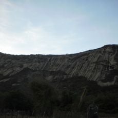
Serra do Lima
134.7 km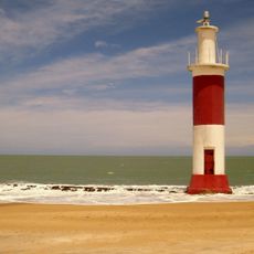
Galinhos Lighthouse
101.1 km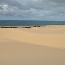
Environmental protection area of Dunas do Rosado
118.5 km
Apertados Canyon
39.6 km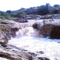
Açude Santa Luzia
114.2 km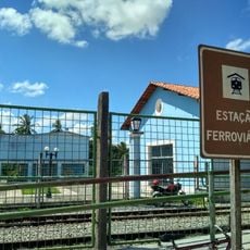
Estação Ceará Mirim
116.7 km
Ponta do Mel Lighthouse
125.3 km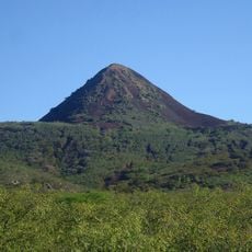
Pico do Cabugi
33 km
Ponte de Igapó
131.1 km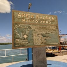
Marco zero da cidade de Areia Branca
140.1 km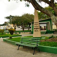
Centro Histórico de Bananeiras
121.5 km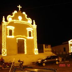
Church of Our Lady of the Rosary
56.1 km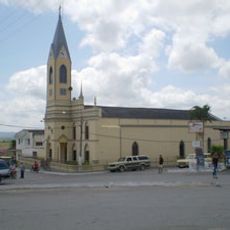
Igreja Matriz de Nossa Senhora da Piedade (Arara)
118.3 km
Cinépolis Natal Shopping
133.8 km
Cine Pax, Mossoró
135.8 kmReviews
Visited this place? Tap the stars to rate it and share your experience / photos with the community! Try now! You can cancel it anytime.
Discover hidden gems everywhere you go!
From secret cafés to breathtaking viewpoints, skip the crowded tourist spots and find places that match your style. Our app makes it easy with voice search, smart filtering, route optimization, and insider tips from travelers worldwide. Download now for the complete mobile experience.

A unique approach to discovering new places❞
— Le Figaro
All the places worth exploring❞
— France Info
A tailor-made excursion in just a few clicks❞
— 20 Minutes